Well…life is better now we think; all in the family are feeling better from whatever it was we had, we kept relapsing on alternate days so only one of us felt decent at a time.
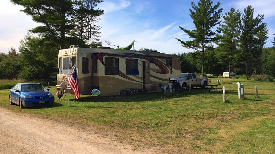
Luckily by Tuesday we were pretty much over that so after a leisurely breakfast we got up, hitched up and headed out on our 150 mile trip over to Ontonagon, MI about 1030 or so. We had practically no traffic and given the short distance were anticipating a nice easy travel day with arrival about 1500. We stopped for a bathroom and soda break about 40 miles before our arrival and when Connie got back in the car she called Neil and asked him if the tire was supposed to be that low. Turned out that we had picked up a screw in the left rear tire not too long before we stopped. We found a station with air and limped over to the place that was supposed to be able to fix it for us…but they were closed. So Neil put on the mini spare tire and we headed back the way we had come about 6 miles to the nearest tire store. Fifteen dollars and about 90 minute total later the tire was patched, remounted, and we picked up the house and BAT from where we had left it in a gas station rear parking area and made the rest of the trip to Ontonagon…where we are parked in site 29 at the River Road RV Park. Another great pick by Connie…it’s nice and quiet and we pretty much had our pick of spaces. So we picked one with nice satellite visibility of the southwestern sky and shade on the entry door side in the afternoon. The Ontonagon River is about 200 yards away from our spot. Neil got all the outside stuff setup while Connie cleaned the countertops inside and then we had some frozen fish filets for dinner. Here’s a shot of our setup in site 29. The site next to us is empty so we have lots of space at least until somebody pulls in next to us.
Wednesday morning Connie spent a couple of hours planning our week here in Ontonagon…which is located about halfway up the Keweenaw Peninsula which juts out into Lake Superior. Once her planning was done we set off on our first outing…about 15 miles south of us to the Porcupine Mountains Wilderness State Park. Unfortunately…once we paid our $9 park admission we had another 25 miles to drive to the extreme southwest end of the park to the Presque Isle Scenic Area where we had about a 2.5 mile hike planned to view 3 sets of falls on the Presque Isle River…Manabehzo, Manido, and Newadaha Falls…as well as a couple of other smaller unnamed falls on the same stretch of the river. We hiked south up the left bank of the river to view the falls from that side then crossed the river on the highway bridge, then another 1.3 miles back north along the other side to return to the parking area. This is the first really hard hike we’ve been on this summer and we were still feeling a little weak from our earlier illnesses so it was a bit of a struggle and turned out to be closer to 3 miles than 2.5 anyway. Lots of up and down along the river banks both ways as well as plenty of tree roots that you had to be careful not to trip over.
A shot of one of the unnamed falls…this one is about 2-3 feet high. Next is a shot of this same falls from a lot farther back on the riverbank…there’s a large ledge that is currently dry but is obviously underwater at higher flow time of the year…you can se the eroded section of the bank in this shot, the unnamed fall on the left side is underwater at higher flow periods.

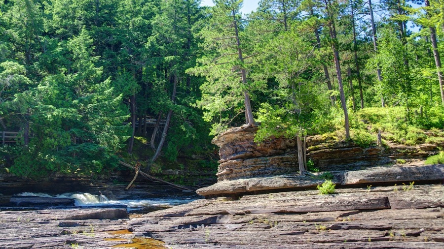
Manabehzo Falls; closest to the Lake as we hiked up. Note the rich copper colored stone…particularly where it is wet. This area was a huge copper mine back in the late 1800s to about 1930…with about 2 million tons of copper metal extracted during the period. The copper in the stone is responsible for the color.
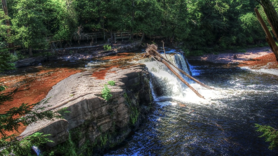
Manido Falls; the center drop.

And finally Newadaha Falls.

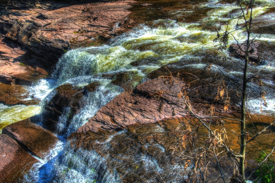
Shortly after this one we crossed the highway bridge just out of frame upriver here…then came back down the right bank to the parking area. One more shot of Manido from the other side as we hiked back.
We headed home and after a shower headed out to Ontonagon for dinner…we found two bars. The Shamrock was our first destination and it had outstanding vibe and atmosphere and great beers…but no food except for frozen pizzas. The nice lady bartender sent us two doors down to Roxie’s which had similarly great beer, great bar food…but fell a little short on the atmosphere part…but that was ok because we were looking for food by then. After dinner we went hoe and rested until bedtime.
Today…was going to be a long day…our plan was to go north to the end of the Keweenaw Peninsula and return…there are a bunch of waterfalls along the way along with some nice views of Lake Superior from atop a 800 foot ridge and there is a Nature Conservancy place out at the far end we were planning on visiting (the plan failed as I’ll discuss in awhile).
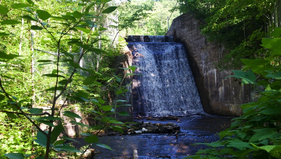
Our first stop was at Hungarian Falls…which required a 2 mile trip up a dirt road, a quarter mile hike down another dirt road that wasn’t car passable (and was the wrong road anyway), and another hike down another non passable road to get to what turned out to be not a waterfall at all but the spillway at an abandoned dam. We took a picture anyway…but it wasn’t much to really write home about I guess.
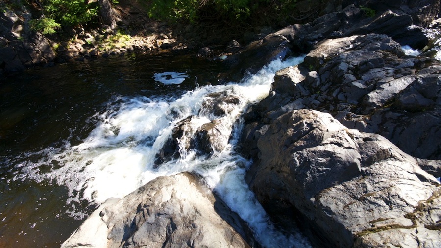
Next up was the Upper Eagle River Falls…which were pretty nice although more of a cascade type than a straight drop. We also couldn’t really get downstream where we could get great shots but we did the best we could.

From there we proceeded into Eagle Harbor and got a shot of the Lower Eagle River Falls right near the village. These are much taller…about 100 feet or so…but again are mostly the cascade down the hillside type rather than a straight drop.

Next up was Jacobs Falls…literally right off the road about 20 feet and about 25 feet high. Following this is a picture of a young lad named Jacob Blocker we met standing at the falls with his family…Jacob thinks the falls is named after him and his parents have been bringing him and his siblings here to have their pictures taken for about 10 years. We told him we would make him famous.


Following this we decided to stop for lunch…our first idea was not open for lunch today (too bad, they were smoking BBQ and it smelled really, really good) so we headed on to the next wide spot in the road and had a truly outstanding fresh caught char grilled lake trout sandwich and a Keweenaw Brewing Company Black Widow Ale…which was quite tasty as well. While having lunch Connie noticed that there were a couple of deer heads up on the wall mounted so that they looked like they were canoodling…Neil took a closer look and said “Hey, they’ve both got antlers which means they’re both bucks.” Neither of us ever heard of a gay deer if ya know what I mean so we grabbed a shot of them. After we laughed about it awhile the folks at the next table gave us a newspaper article with the real story…turns out that they got tangled up while fighting during the rut and the one on the left side was dead and his hindquarters were already eaten when a local hunter happened across them and shot the one on the right…so they mounted the heads as they died.

After lunch we headed off to our next stop at the Nature Conservancy property…and happened across the Silver River Falls which weren’t on our list to see but were pretty nice anyway. Along the way we headed up Rock Ridge Road which gave us some nice views from up on high. We also got a very nice shot of the Eagle River Lighthouse which marks the entry into the harbor there.


After these we got to the Nature Conservancy area…which turned out to be about 3 miles down a series of worse and worse dirt roads. Unfortunately we could only make it about 2.5 miles down this series of roads before we ran into a puddle/hole/rock pile that Neil decided we couldn’t make it past so we had to turn around and give that one up. We headed for our last scheduled stop of the day at Haven Falls and got there for another picture of a nice waterfall.

With that our day was done…we got back in the car and punched “Home James” on the GPS and 90 minutes later were back at the house after a quick stop at the IGA for a couple groceries we were out of. Dinner was a very nice NY strip from Costco and some Rice with Black Beans and Corn…quite a yummy dish that Neil invented a couple years back as a riff on your standard beans and rice. A nice glass of Merlot to go with it and dinner was great.
We’ve only got one more day of Fun Stuff© scheduled…but it will depend on the weather as between Fri to Monday it’s got a good chance of rain 2 of the 4 days…so we’ll head off and do the museum on whatever day looks better.
Cyas.

Yay for Fun Stuff© and so glad y’all are better! Spectacular pix as always! ❤
We are glad we are better too. Really, really, really glad.
Sent from my iPad mini
>