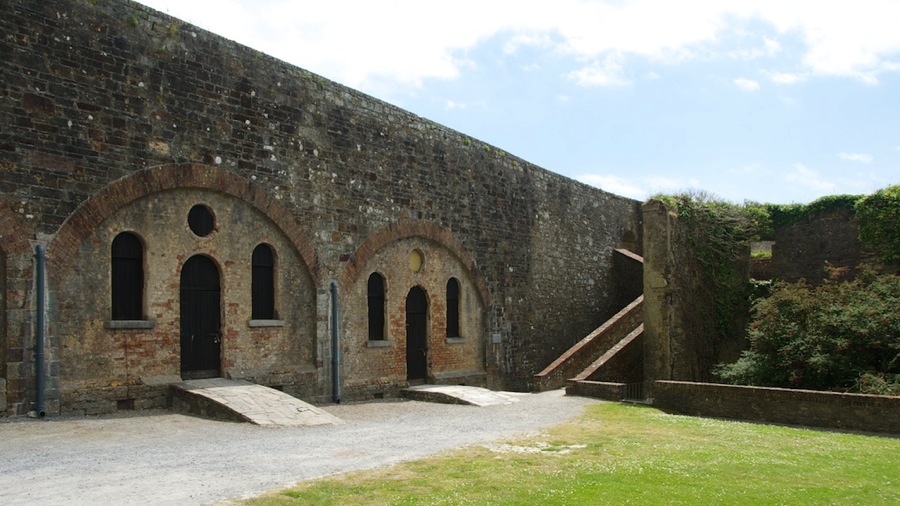
Day Trip to Ballycroy National Park

Today was a pretty easy day…after Connie’s tummy issues yesterday she felt better but not great so after a bit of breakfast we dropped off some laundry at the local cleaners (10 Euros for 4 Kilos…which turned out to be one load which was what we had) and then headed off down the N59 toward the west.

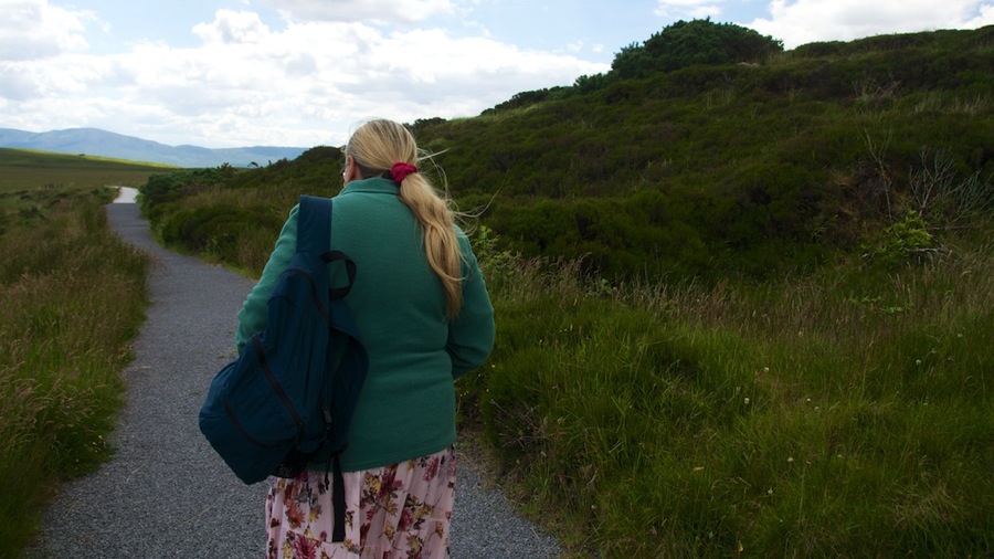
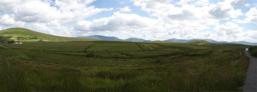
We got to the park after a two hour drive or so and parked at the visitor center. Another pretty small operation as far as a national park goes…but better than the others we’ve seen here. A nice display of exhibits in the center along with the story of the bog…this park is the largest untouched area of peat bog left in Ireland.

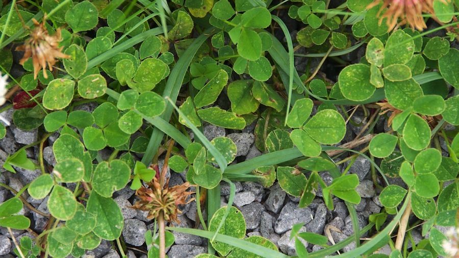
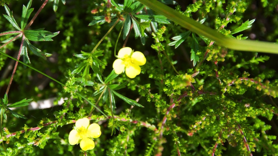
Ya know…these things are all over Ireland and I looked at ‘em, hundreds of ‘em I say and I couldn’t find one darn one that had 4 leaves. Every dang one I looked at only had 3.

DSC 6640

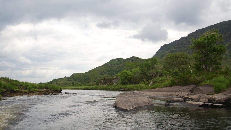
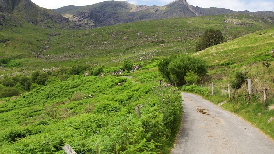
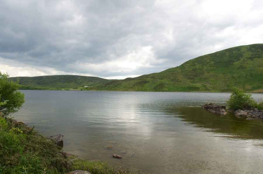
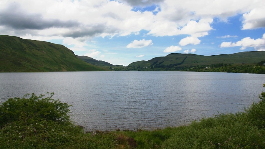
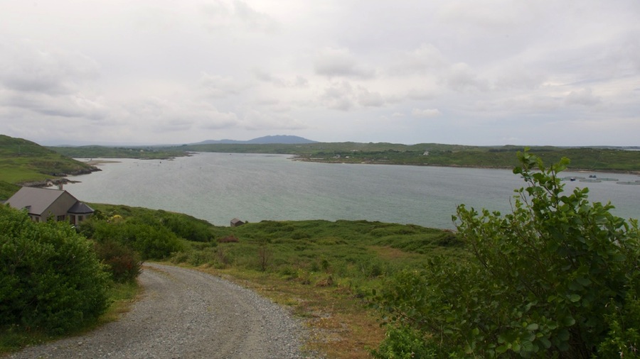
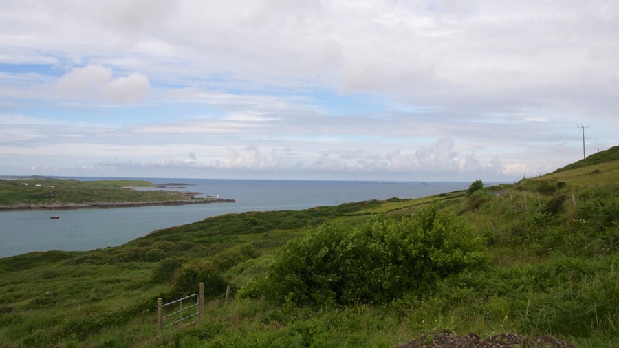
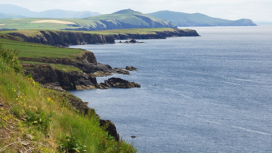
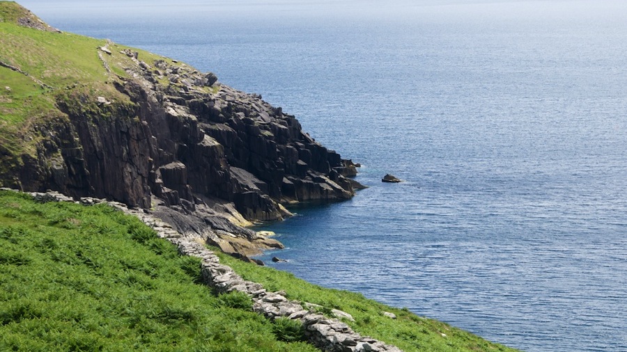
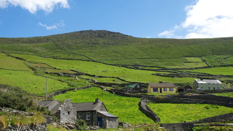
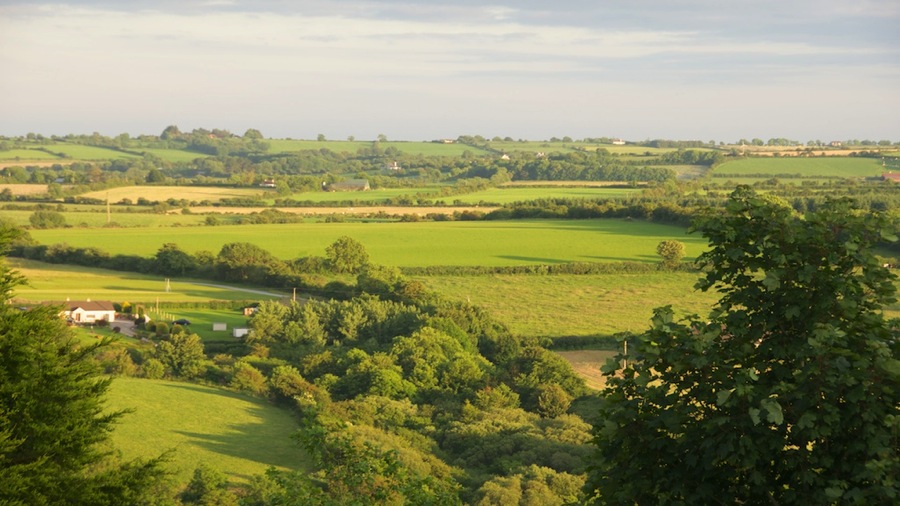
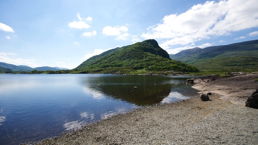
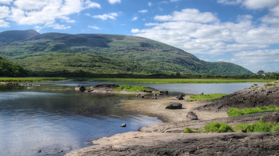
We got some shots on a short walk around the visitor center…about a mile up and around the hill…as well as a couple o one of the Loughs (lakes) we passed on the way home.

DSC 6641

DSC 6648

DSC 6653

BallycoryNP 20140628

DSC 6665

DSC 6667

Stopped for lunch at Hiney’s Restaurant and Bar in Crossmalina on the way home, picked up our laundry and got back to the hotel. After a nap for a couple of hours we headed off and had dinner while watching the tail end of the Brazil-Chile World Grass Diving Cup game…then it was home for rest.

Cyas.

Posted in RV, Travel | Leave a comment

Transit to Sligo and Connie Not Feeling Well

Connie had a terrible day today…woke up with stomach issues and was able to only choke down some tea and toast for breakfast. She managed to keep things under control until we got to our afternoon destination at the Sligo Park Hotel (a pretty swanky place I might add) then had to visit the facilities for awhile followed by a nap after Neil helped her back into bed. She was feeling much better after a 2 hour nap except from being a bit out of it after a day of troubles but felt well enough to head out for dinner. She had a Coke and some bread with various pate’s, spreads, and olives because it sounded good to her. Neil had a couple o pints and some garlic prawns…for which Connie will hate him later as it will surely make his breath smell.

Anyway; we still stopped by our scheduled destinations for a look-see on the way to Sligo although Connie mostly stayed in the car except for the Knock Shrine which was one of her must do’s for the trip.

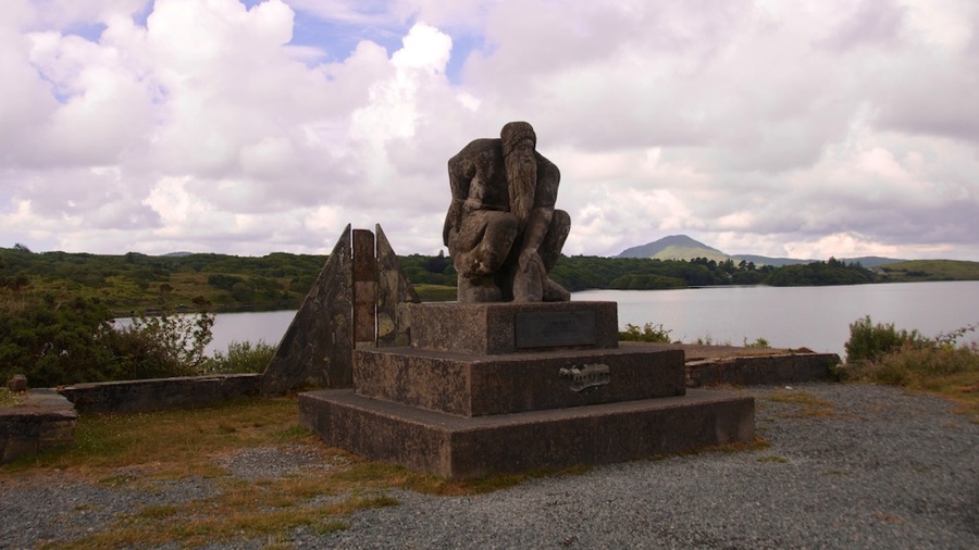
Our first stop was right up the road a bit from the Ballynahinch Castle Hotel…we stopped and got a photo of the Giant of Connemara. It’s actually a statue of Conn a Mara (which is Connor of the Sea in Gaelic) who was an famous old guy here in the peninsula…so famous that they eventually named it after him. Looks like he invented Tebowing long before the more modern SEC football version did.

DSC 6619

From there we grabbed a few shots of one of the many lochs (lakes) in the area since it was still sort of sunny and then headed off to the Knock shrine.

DSC 6620

DSC 6621

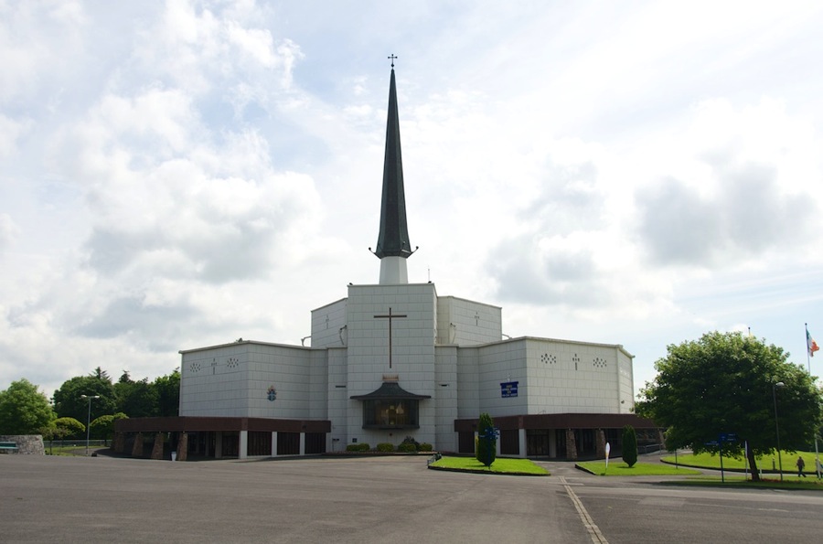
Another 70 kilometers or or so up the road we got the the Knock Shrine…which is dedicated to an apparition in August o 1879 when the Virgin Mary, St. Joseph, St. John the Evangelist appeared to a young girl and 15 witnesses surrounded by an altar, cross, lamb, and angels. It lasted about 2 hours and many miraculous cures have been reported over the years since. Here’s a shot of the more recently constructed Basilica near the site as well as the shrine which is at the location the apparition happened.

DSC 6623

DSC 6624

DSC 6628

Neil zoomed in to get this last shot…and couldn’t help but notice that it looks a lot like Mary is telling us that it’s Fourth Down and a Foot to go…but maybe that’s just him. I think we’ll just call this one “Fourth and Short Mary” to go along with TD and First Down Jesus from earlier in the week.

DSC 6629

From there we headed off to Clonalis House…which is the ancestral home of the O’Connor clan…who were the rulers of this part of Ireland (or at least part of the local bigwig group). The O’Connor’s might (or might not) be the ancestors of Neil’s 8 times great grandfather on his mother’s side Thomas Connor who might (or might not) have changed his name from O’Connor to Connor when he emigrated. On the other hand…Connor’s and O’Connor are very common names here so maybe this is all just a bunch of hooey. Connie wasn’t able to narrow down the ancestry any more than that Thomas was born Oct 29, 1619 in Ireland and died in Virginia in 1688. Anyway…here’s a shot of the house…doesn’t look much like a castle to Neil…but then he thinks a castle needs a moat and a drawbridge along with a dungeon…but that’s just him.

DSC 6635

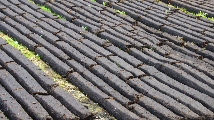
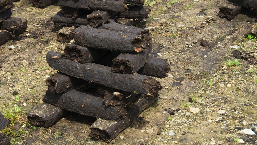
After that we headed for Sligo…Neil happened to notice a place where they were drying peat and stopped to get a couple of close ups for ya. The flat pieces are about 4 by 8 inches in cross section and 4 feet long or so…the stacked ones are maybe a foot or 15 inches long. Once dry they make really good firewood.

DSC 6637

DSC 6638

We got to the hotel and Connie took her aforementioned nap then we headed downtown and had dinner at Hargadon Brother’s Pub…Neil had his usual pint of Guinness followed by a pint of Franciscan Well Stout…which was really good as well. We stopped by the Tosco on the way back to the car and got more cookies and a Coke for some snacks.

Tomorrow we are going to figure out how to do some laundry early then head off to the Baloycroy National Park west of here. Sunday we have Mass and a couple of things to see that are a bit closer. After that we’ll cross over into Northern Ireland for all but the last night of our trip.

Cyas.

Posted in RV, Travel | 4 Comments

Connemara National Park, Kylemore Abbey and Two Hard Finds

Today was a great day…even though by 1300 it was raining pretty steadily and we had to accomplish a lot of today’s goals in the rain. No matter…we had rain gear so all was good.

After breakfast we headed out for our first stop…which was the location of the transmission site for the original transatlantic radio signal by Marconi back in 1901. Guegliemo Marconi established a transmission station at nearby Clifden and started testing transmissions. On 12 Dec 1901 he successfully had a signal received by a kite borne antenna at Signal Hill in Saint John’s, Newfoundland. I mis-spoke last night when we said we had been at the other end already…where we actually were previously was at his station on Cape Cod, MA where he established the first successful ongoing transatlantic radiotelegraphic service…this was set up a couple of years after the original transmission. Still though…we felt like seeing the transmission site here would connect the dots on both ends of the transatlantic link.

We headed south towards Roundstone and turned off onto Bog Road (so named because it runs through the bogs)…we didn’t have an exact location for the site but were going by a notation on a tourist map. After 12 kilometers or so we got into Clifden without spotting the site so we figured that we had missed it somehow. Since the museum in town for the station didn’t open until 1100 we continued on to our next scheduled stop at Connemara National Park. We did get a couple of moody foggy shots of the Twelve Bens (this comes from the Gaelic word Binns which means mountain) which are some closely packed peaks in the area.

Twelve Bens 20140626small

We arrived at Connemara National Park…on the way over we figured out that we’ve seen 4 of the 6 National Parks in Ireland…we’ve seen Connemara, Burren, Killarney, and Wicklow. The remaining two are both up north and we’ll get those later in the week so we’ll have a clean sweep of all of them. National Parks here are a lot different from the ones back in the US…usually just a small visitor center and a very few marked hikes; they’re also a lot smaller and not contiguous like the ones back home are. The park service here buys up what land they can when creating one but private landowners still own chunks of property inside the boundaries. They are more like state parks back home than our national parks. Connemara National Park is largely composed of peat bogs which in days past were harvested for fire fuel. Peat is kind of a cross between moss and mulch and is formed by compression of layers of dead vegetation. It’s cut into blocks and dried and then it’s hard but relatively light. It lights readily and burns steadily so given the relative lack of trees here it was an obvious choice for fuel.

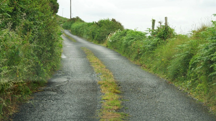
On the way to the park we transited another section of the Wild Atlantic Way…this is a 1,200 kilometer stretch of road right along the coast here…all small roads but lots of sea views and high cliffs. This particular portion was known as Sky Road and we drove for an hour or so right on the edge of the cliff around a couple of small headlands right in the Clifden area. Nice views all around. We also continued our sampling of the goat track roads in Ireland…we thought we had found a winner with this one that has grass growing out of the road…usually that’s a great sign that it’s not too great of a road. No photos from Connemara NP as there wasn’t much to see unless you went hiking and by this time it had gone from mostly cloudy to off and on drizzle. Shortly after we left the park we spotted a place where some peat had been harvested. You can see in the photo below the cut face where it was harvested (it’s usually in a layer 6 to 15 feet thick) and then stacked up on end on top of the bank in teepee shaped piles to dry.

DSC 6485

DSC 6486

DSC 6499

DSC 6487

DSC 6513

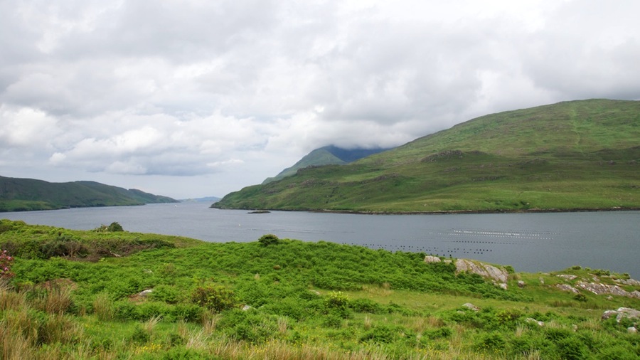
Our next stop was at the Kellary Fjord. For those of you who don’t know what a fjord is…it’s a long arm of the sea that penetrates inland. While we were sitting there watching it and having lunch (chips and M&M’s) we tried to decide what the difference between a river mouth which gradually widens into the sea and a fjord was. About the best guesses we could come up with were that a river gradually widens out whereas if a river dumps into a fjord it widens in a much more dramatic manner. Along with that you look along the sides of the fjord and if the tidal action of the ocean exposes mudflats then it’s a fjord whereas a river might have some tidal action but usually doesn’t have exposed riverbed at low tide. The first shot is looking down the fjord toward the ocean…and you can see several deep gashes in the far side in the second photo with trees growing in them.

DSC 6524

DSC 6532

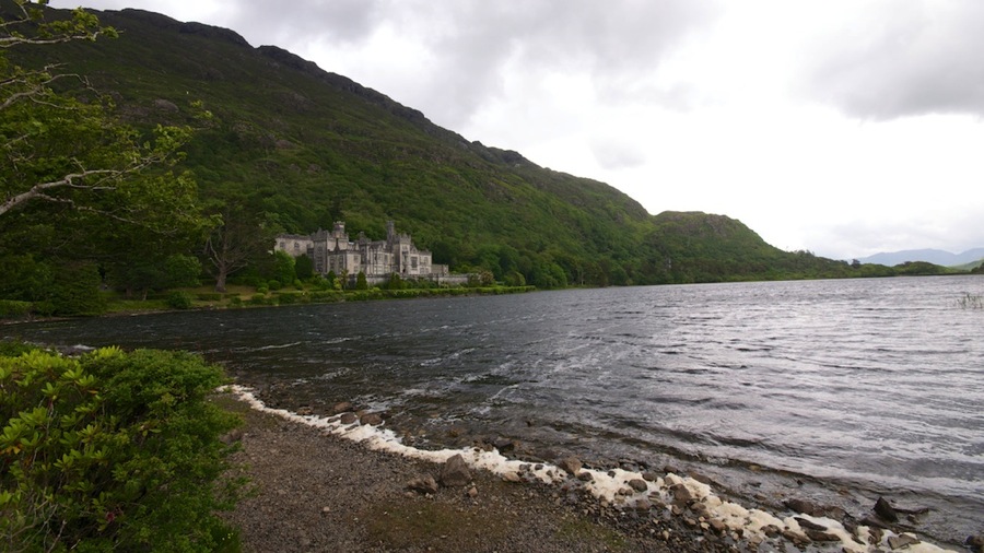
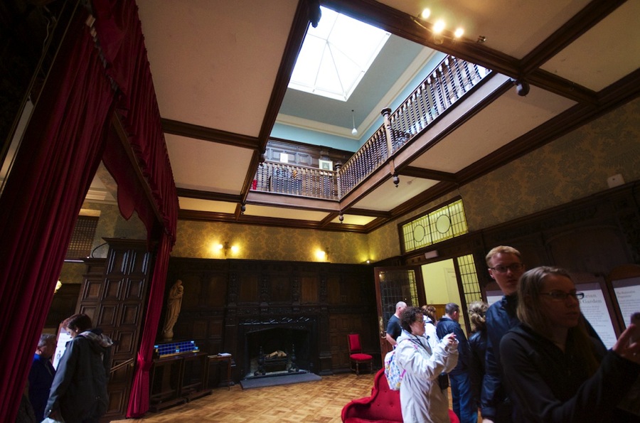
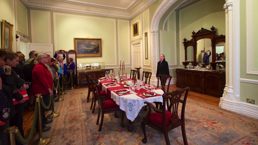
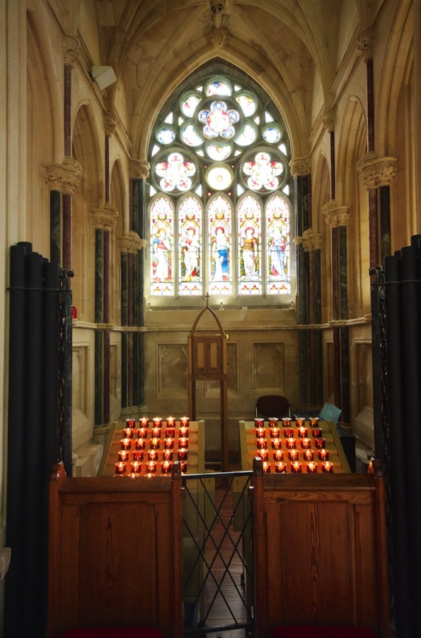
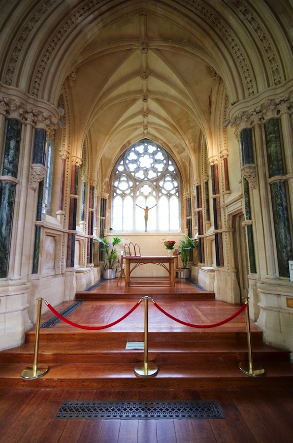
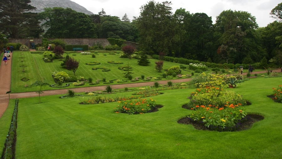
From there we were off to Kylemore Abbey and by the time we got there it was raining pretty steadily. The abbey was originally a castle purchased and built by a wealthy American when his daughter married an English Earl. After their deaths and a series of owners the property was purchased by the Benedictine Sisters in 1920 for use as an abbey and girl’s school. The school closed in 2010 but the abbey is still mostly occupied by the sisters. We did get to see a few rooms on the first floor, followed by a visit to the church on the property that was constructed as a monument to his wife by the Earl after she died on a trip to Egypt. Then it was off to the restored walled Victorian Garden that is also on the property.

DSC 6534 HDR

DSC 6538

DSC 6545

DSC 6555

DSC 6559

DSC 6565

DSC 6567

DSC 6572

DSC 6574

DSC 6577

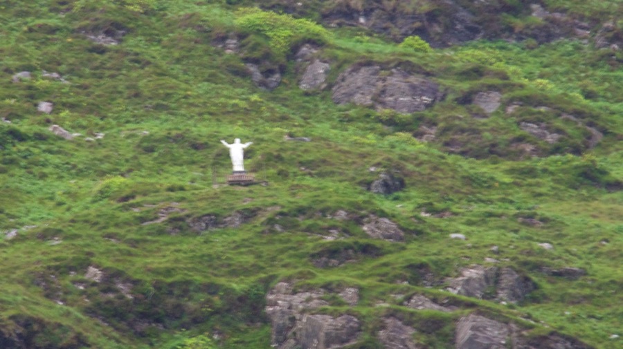
By this time it was up to a pretty decent rain so we decided to blow off the extended woodlands portion of the garden and went back to the car. While we were catching our breath, having some more M&Ms, and a diet coke Connie happened to look up on the hillside above the abbey…and there he was…Touchdown Jesus!! Score.

DSC 6579

Since it was raining pretty hard we decided to call it a day and headed home. On the way the it slowed to a drizzle so we decided to give one more search for both the Marconi radio site and also the nearby landing site of Alcock and Brown…who completed the first nonstop transatlantic flight in June 1919 in a modified WWI Vickers Vimy bomber. After completing their flight at an average speed of 115 miles per hour they landed in what they thought was a field…but it turned out to be a peat bog so they came to a very sudden stop when the landing gear sunk. They were able to repair their aircraft and continue on however.

We went again down the Bog road with (once again) no success. At the end, instead of turning right into Clifden we decided to go the other way and not a mile up the road spotted a sign for the Alcock and Brown memorial so we headed up there figuring we would get at least one of the two. On the way down the Bog Road we did see this guy trout fishing in the river in a style known as Beat Fishing. Each anger gets a portion of the bank assigned to him and only him and he’s free to walk his beat in search of the best fishing spot. Since a lot of Irishmen ended up as NYC or Boston cops after they emigrated…and since cops in those days tended to walk their assigned patrol zones…this was the source for the expression that a cop walks his beat. This guy has to be a serious fisherman…it was pouring rain by this time and he was out there having a great time. He is pulling in a fish here but Neil didn’t get a shot as he pulled it out right onto the bank behind the grass.

DSC 6582

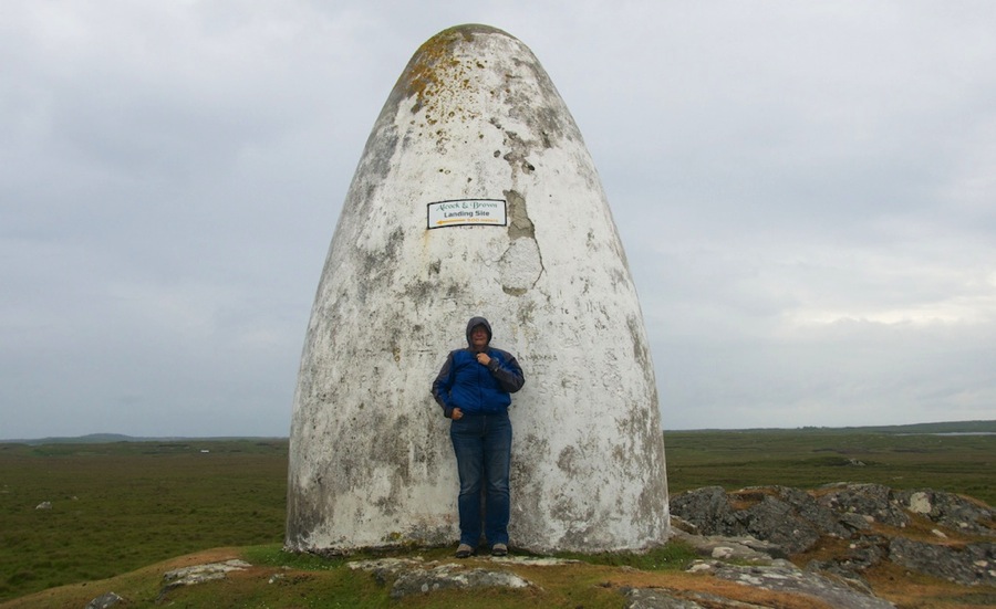
Here’s the Alcock and Brown memorial. It’s about 20 feet high and is a mile or so from the landing site on top of a hill…no idea why they put it here.

DSC 6597

We headed down from there and were bound for Clifden for beer and dinner and all of a sudden spotted a sign that said Alcock and Brown landing site off to our right. On turning into the road Neil then spotted a sign that said (in little letters) Marconi Station Site…so we essentially stumbled onto both of these. Heading down the road we went about 300 yards and got to a closed gate. We almost turned around until we spotted a sign that said “Please close gate, livestock on mountain.”…so decided that we could go in as long as we closed the gate. Connie opened and closed it and we headed through and sure and behold about a mile down the road we reached the location of both events.

I gotta tell ya…this road is the new first place holder in the Irish Goat Track Road standings. Heck, it’s actually got goats on it (well, they’re sheep…but that’s almost a goat). This thing was about 3 feet wider than our car is and passing another car would be impossible as there were drop offs on both sides most of the mile or so we were on it.

DSC 6612

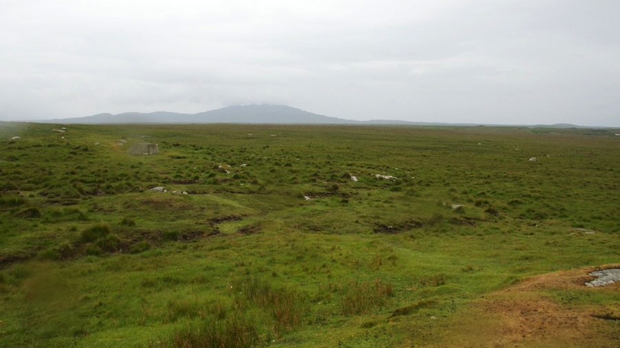
Here’s the second Alcock and Brown marker along with a shot of the field about 500 meters away where they actually landed. In addition to the rain…it was blowing 20 knots or so up here so with the damp it was really pretty nippy. Connie was glad she was bundled up.

DSC 6604

DSC 6606

Finally, a couple of shots of the station plaque that was placed there by Princess Elettra Marconi Giovanelli (Marconi’s daughter) to commemorate the 100th anniversary of the event along with some shots of the foundations for the transmitter towers. Not much left of them…but we thought it was way cooler than going to the museum in town…heck, anybody can do that but ya gotta be an adventurer to head down the sheep track gravel road in the rain then tromp through the heather to reach the site.

DSC 6608

DSC 6609

DSC 6610

With that done…we decided we had earned our beers again today so we headed back down the goat track, through the gate, and into Clifden where we stopped at Mannion’s Pub for a couple pints each along with potato/mushroom soup for Connie and a caramelized onion and goat cheese tart for Neil. Both were pretty good…then we headed back to the castle for a dram of Jameson, some cookies, and sat by the warm fireplace.

Tomorrow we’re off to Sligo with a couple of planned stops on the way…the Knock shrine and Clonalis House…this was the seat of government for the O’Connor clan who ruled the area. Turns out Neil is distantly related to either the Connors or the O’Connors so he’s claiming some Irish royal heritage now. Connor and O’Connor are sort of like being named John Smith over here though…so that must might mebbe be a stretch.

Cyas.

Posted in RV, Travel | 2 Comments

Transit to Ballynahinch

Today we had breakfast then said our goodbyes to Trish and headed off on our trip to the Connemara Peninsula. It was about a 100 mile drive but since the roads were your typical narrow curvy Irish roads…combined with a few photo stops and lunch…it took us from about 0830 until 1430 to arrive here at the Ballynahinch Castle Hotel. Neil forgot to take a picture of it for you this afternoon and it was raining when we came back from dinner but I’ll get him to take one tomorrow…this is Connie’s “castle hotel stay” for the trip. We’re staying in the Marconi Room because the other end of Marconi’s famous first trans Atlantic radio transmission was here in Ireland at nearby Clifden. We visited the west end of the transmission site on our visit to Halifax a couple years back so it will be nice to visit the Marconi Station Museum on this end to sort of connect the dots. We’ll visit it tomorrow as part of our peninsula driving tour.

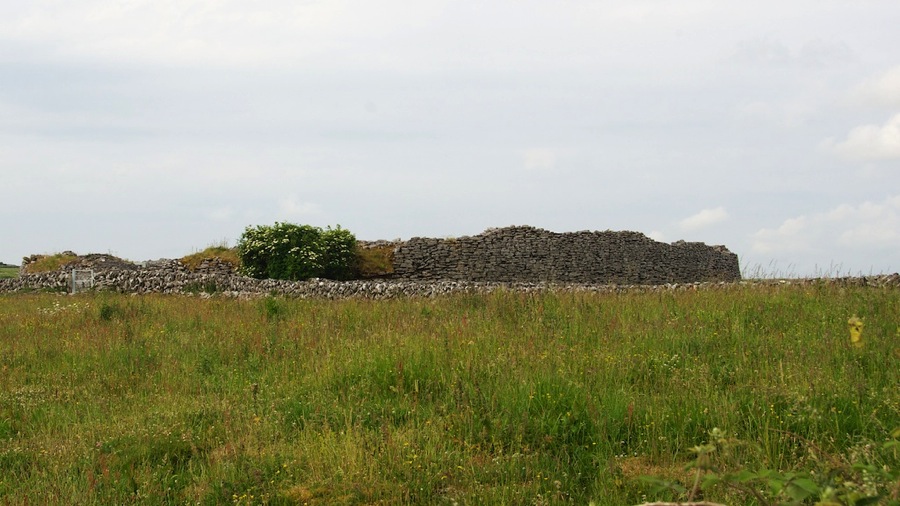
We passed and photographed a few castles, abandoned churches, and stone fort ruins on the way to the area known as The Burren.

DSC 6438

DSC 6439

DSC 6442

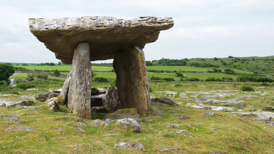
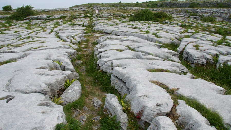
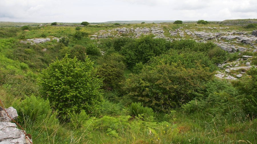
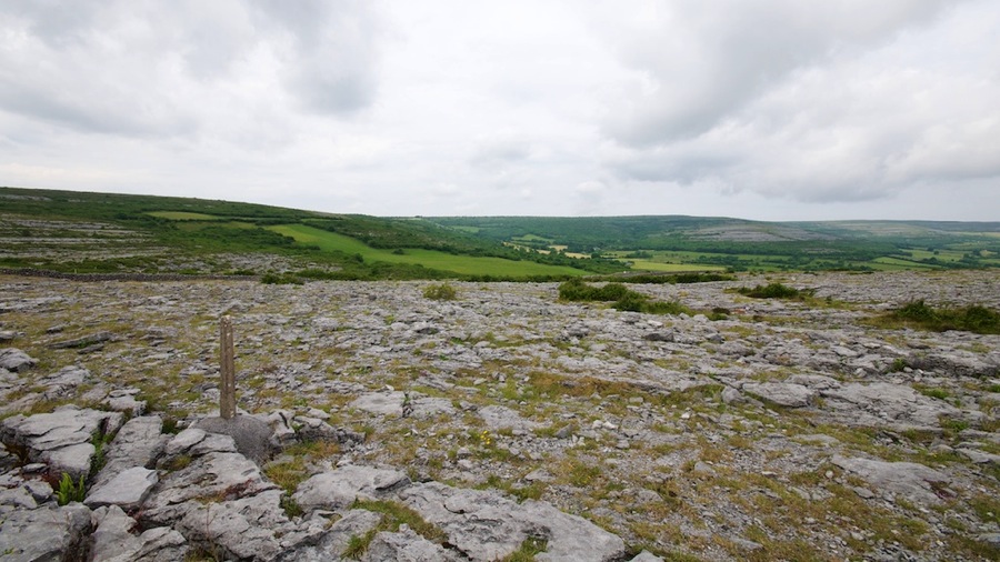
Once we arrived at The Burren we did a drive through it and I gotta tell you…it’s about the crummiest land you’ll ever see, almost all rocks and what isn’t rocks is bog. The only thing it’s really good for is growing sheep as they’re used to scrambling around rocks…cattle would break too many legs on the very difficult terrain. The first stop on our tour was at the Poulnabrone or Portal Tomb. This tomb dates from about 4,000 BC during the late Stone Age and is called a portal tomb since there were two vertical stones with a portal stone across the top of them leading down into the burial chamber. We luckily got there between (mostly) a couple of tour buses so were able to get decent photos. The vertical stones are about 6-7 feet high…so it clearly took a considerable amount of manpower to raise the portal stone to the top. Unfortunately the display signs didn’t say how they did it but that portal stone has to weigh many tons. The first shot is looking west at the side of the structure and the second is looking south into the opening. As you can see; it was more of a symbolic entrance rather than a fully enclosed tomb and the burial site is just a shallow pit past the portal stones. Following that is a close up of the landscape so you can see how rocky it is;the channel is about a foot wide. Then there are shots of a sinkhole caused by a collapsed cave…this area is riddled with caves and many of them have collapsed over the eons. The sinkhole is about 50 yards wide and 40 feet deep.

DSC 6447

DSC 6448

DSC 6451

DSC 6454

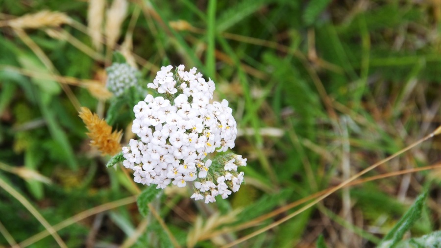
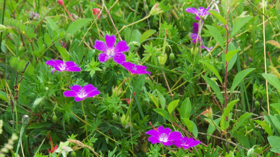
Continuing on around The Burren we got some more shots of the bleak landscape…there are 80 or 100 square miles exactly like this and then this rapid transition at the edges to more pasture like lands where you can grow crops or graze cattle…but even those pastures you can see in the distance had a lot of stones in them originally…where do you think the source material for all the stone walls around the fields came from? We also spotted some wildflowers…turns out we just missed the peak season of June for them by a couple of weeks…they’re mostly gone now.

DSC 6456

DSC 6457

DSC 6459

DSC 6465

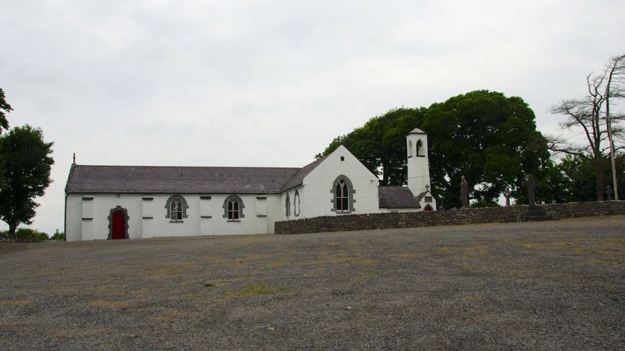
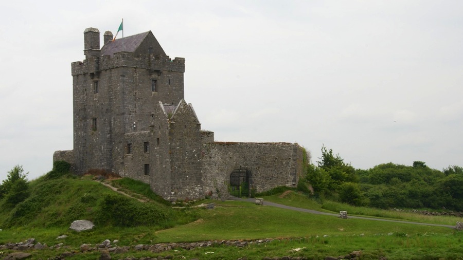
Continuing out of The Burren we passed a relatively new construction church…only 100 years old or so; then the Dunguaire Castle which is another place that has a medieval dinner like we had last night before arriving at our hotel. The final shot is the edge of the peat bog right outside Dunguaire…the peat here is almost solid but there was a stream of water running out of the edge and into the creek towards the sea in the distance.

DSC 6467

DSC 6469

DSC 6471

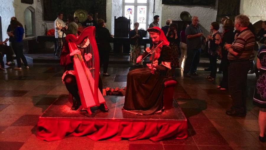
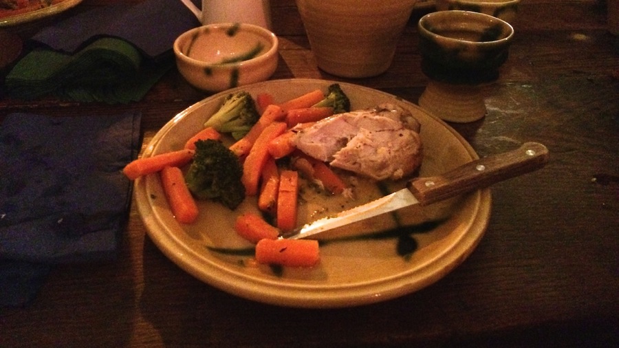
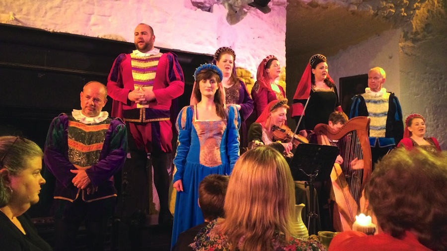
Speaking of Medieval Dinners…ours last night was pretty good. The staff was dressed in period costumes for the time that Bunratty Castle was built and the menu was typical of the time as well. We had soup that came in bowls with no spoons, ribs, then chicken and taters followed by a custard with fruit topping on it. The only silverware we had was a dagger…forks hadn’t been invented yet although the custard came with a small spoon as it would be too hard to eat with your fingers. Before dinner we enjoyed several glasses of Mead…this is essentially beer made out of honey with a couple of differences. First is the really sweet honey taste and second is the alcohol content. It was way higher than either beer or wine, almost up to a brandy in it’s kick…but it was mighty good. Dinner came with wine and some entertainment. We sat in the Great Hall on benches at long tables with food served family style to all. It was a great evening…Connie particularly enjoyed the entertainment as it was a lot of madrigal singing. I’ve also uploaded a video of this to our youtube channel…you can view it at http://youtu.be/Pcqo8EbzNXI. The dinner was actually a lot less cheesy than we thought it would be and the entertainment in particular was very, very well done. Dinner was decent…but then cooking for 200 people at a time it’s hard to really get beyond decent. The soup…pureed parsnip…was outstanding particularly when filled with bread chunks. The ribs were good as long as you didn’t think of BBQ while you were eating them, the sauce was definitely not BBQ but was tasty. The chicken was a bit dry as kept warm chicken tends to get but had a nice sauce which countered the dryness and was tasty as well. The sweet course with it’s custard…well, more of almost a cheesecake consistency although not cheesecake flavored…was topped with berries and whipped cream (I’m not sure that was invented in medieval times though) was outstanding.

I also added a video from yesterday’s Gap of Dunloe tour…this is the portion where we were flying down the hill after the summit. As it says in the video…”This is the action part of the tour.” It can be found at http://youtu.be/8xRG1Ho-E3E.

IMG 1370

IMG 1312

IMG 1378

Today when we got to the Ballynahinch Castle we checked in and took a nap for a couple of hours. After that we ran down into the closest town of Roundstone and had dinner at the oldest pub in Connemara, O’Dowd’s which opened in 1840. Dinner was a couple of pints around some grilled Galway Bay oysters, steamed mussels, and seafood chowder. The chowder is “famous” according to all the typical tourist propaganda…but it was only good and not nearly as tasty as Neil’s chowders of any variety. It needed bacon, onions, and more spices. Connie didn’t have any since it had shrimp in it so she went for the mussels instead. After having the chowder, Neil figured he shoulda gotten the prawns in garlic butter sauce…they looked really good and were about 6 inches long overall with the head on so although they were unshelled it wouldn’t have been too hard to do so. He decided it was too much though…bad decision in hindsight.

Tomorrow we’re off to our driving tour of Connemara…only 5 days left in Ireland before we adjourn to Northern Ireland for 6 days or so then we return to Ireland the last day as we transit back to Dublin for our flight. We did figure out that we can drop the car off at the airport which will make getting there on Sunday morning Jul 6 a lot easier.

Cyas.

Posted in RV, Travel | 3 Comments

Cliffs of Moher and Travel to Bunratty

After breakfast this morning we finished packing up and headed off from the Carriglea B&B about 0900. We had a 2:45 trip over to the pier at Doolin where we caught the boat out to the Cliffs of Moher…which start essentially at Doolin and run about  10 kilometers south down the coast.

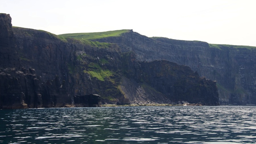
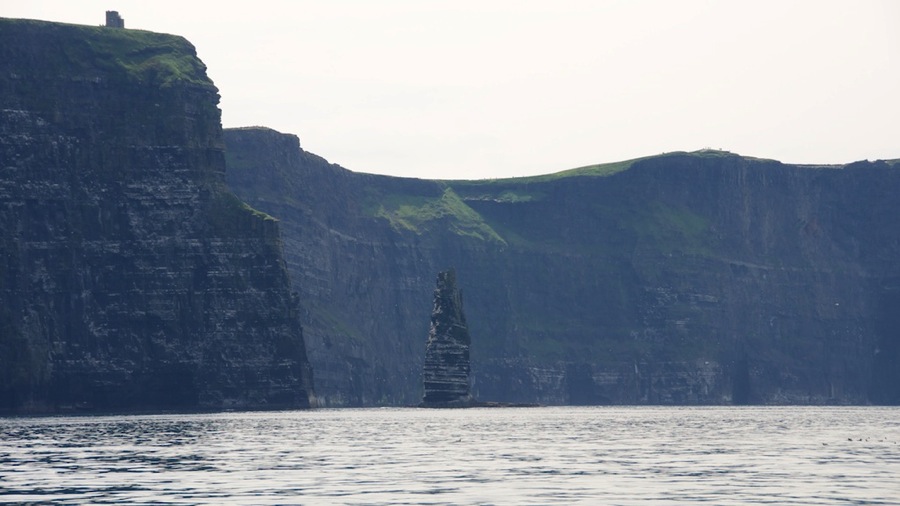
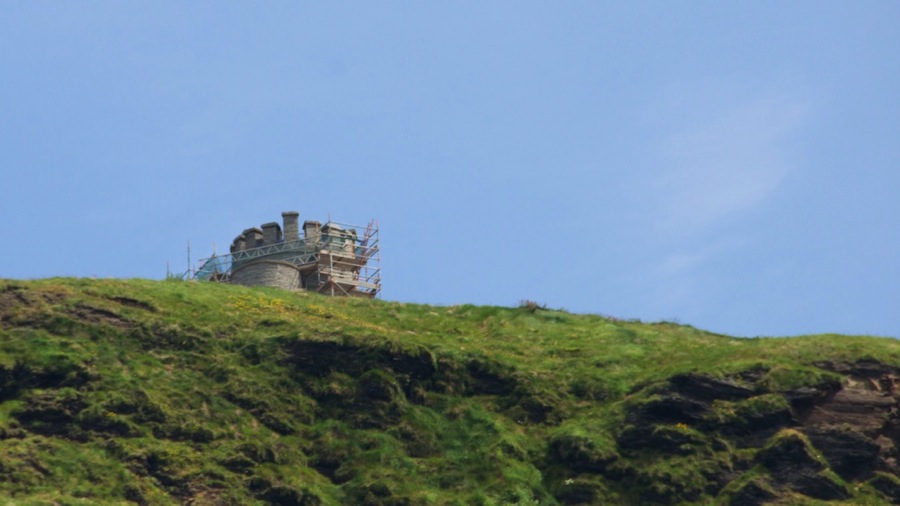
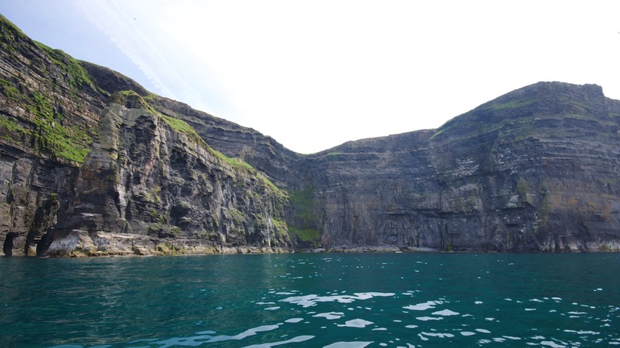
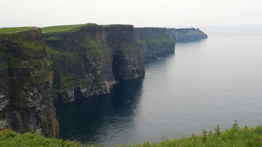
The cliffs average about 600 feet high with 725 feet or so being the highest point…this is where Brian’s Tower is located.

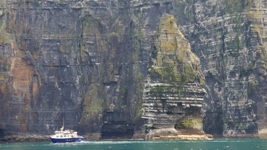
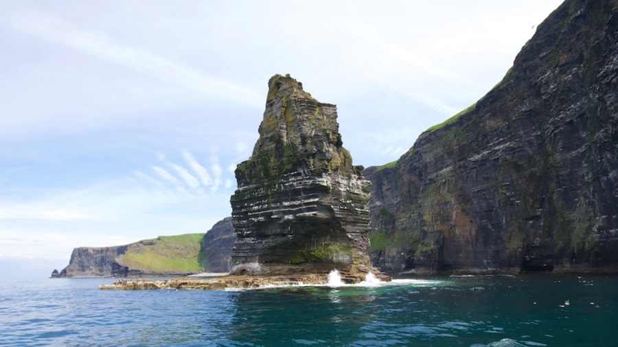
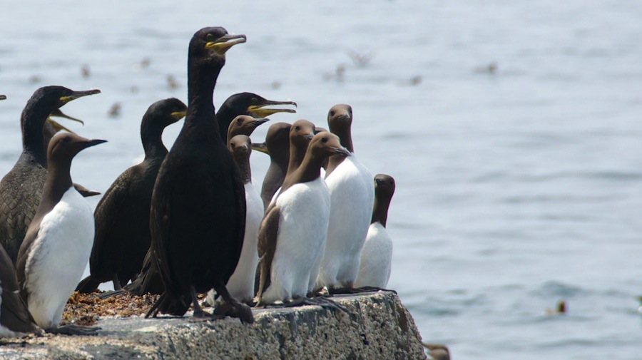
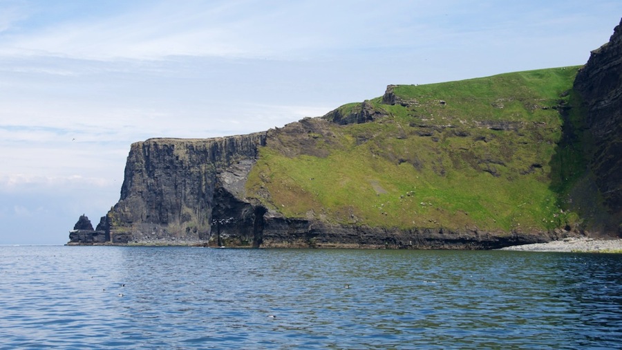
Photos from the water portion of our trip…the boat got in close to some of the cliffs…maybe about 25 feet away and the water was still plenty deep. The cliffs continue into the water and it’s about 80 feet deep almost up to the wall.

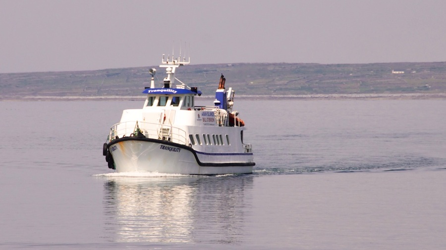
Our boat the M/V Tranquility pulling into the pier to pick us up. Once onboard we got underway…our spot was on the port side rail down by the stern…and once we pulled away from the tour the cliffs were in sight almost immediately.

DSC 6307

DSC 6310

DSC 6322

DSC 6329

DSC 6332

DSC 6337

DSC 6348

DSC 6363

DSC 6370

DSC 6379

DSC 6381

DSC 6386

DSC 6389

DSC 6401

DSC 6407

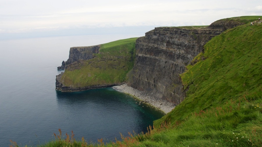
We got back to the dock about an hour after we left…note the extremely calm North Atlantic (again) in the background of the shot of Connie. Almost dead calm today; the only waves were those caused by the tour boats. Heading south alongside the coast we got a few more pictures then Neil walked out to the edge of the cliffs for some land side perspective views…Connie decided she wasn’t standing on the edge of a 600 foot tall cliff and stayed in the car.

DSC 6416

DSC 6421

DSC 6424

DSC 6426

DSC 6434

With that our day’s touring was done and we headed off to Bunratty where we quickly found the Briar Lodge B&B run by Trish. Got checked in…and the first thing we did was Neil fixed her wifi so that I could post this. After a bit we’re heading off to the Medieval Castle for dinner and the show…I’m sure it will be schmaltzy but hey…it is what it is.

Tomorrow we’re off to Connemara to the Ballynahinch Castle where Connie will achieve her lifetime dream of sleeping in a castle. Neil will achieve his lifetime dream by calling her a wench or something.

Cyas.

Posted in RV, Travel | Leave a comment

Skellig Michael Boat Trip and Gap of Dunloe Antique Bus/Boat/Buggy Trip Part II

Moving on into part II of the past two day’s post. Today we visited the Gap of Dunloe…this is a cleft through the coastal mountains that even at the top of the pass is 1500 or so feet high with the sides of the gap being much higher. Think of an ax cut into a log and you’ll get an idea of the narrowness and depth…it turned out to be truly quite impressive. No cars are allowed on the road except for folks that live in the area so it’s either hike or take the Jaunting Car (horse drawn 2 people carriage).

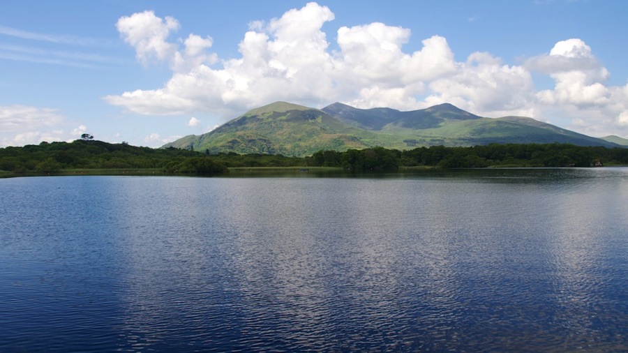
Before getting to the gap itself…we were picked up by our bus driver/boatman for the day, Tom McSweeney…and quite a character he turned out to be. Kept up a running commentary on lady drivers, shallow bottoms, and the trials and tribulations of his life but he was really pretty funny along with telling us interesting stuff. After a 12 or so kilometer bus ride we switched transportation modes into a boat eerily similar to a Maine lobsterman fishing boat from back in the day…long and narrow and open. After a quick look at the Ross Castle…which was the last castle captured by the British…we headed south across the 3 lakes in the Killarney region…the largest Lough Leane, smallest Middle Lake, and bigger than Middle but not large Upper Lake.

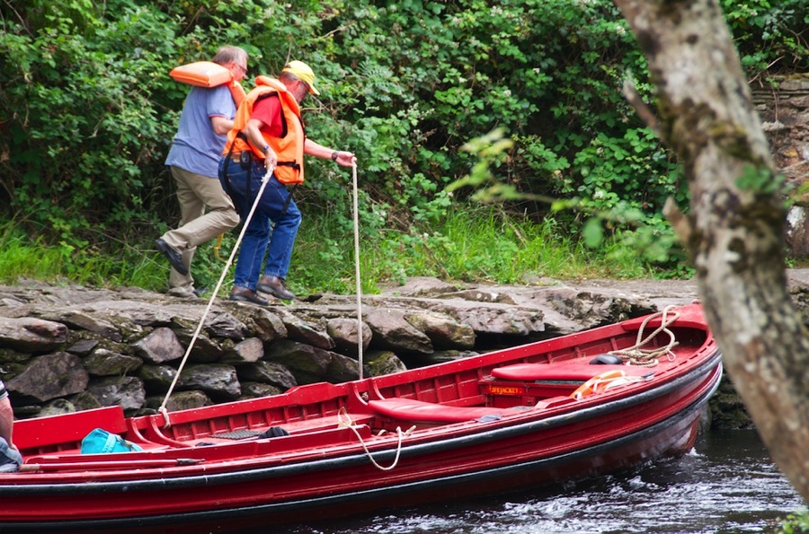
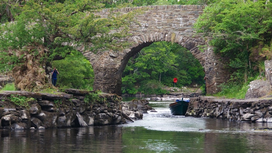
Here are pictures from our journeys across the lake…it included a transit underneath the bridge between Middle and Upper lake that was too deep for the outboard motor. Neil got volunteered as the youngest and in best shape person who also spoke English as his first language to assist boatman Tom in pulling the boat upstream through the cut…it was about 18 inches deep and had 4 knots of current or so in it so it was a decent pull for 30 yards or so. 
DSC 6078

DSC 6082

DSC 6092

DSC 6096

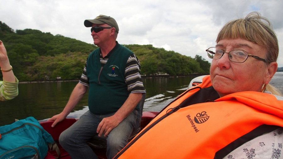
Boatman Tom and Connie in the stern of the boat.
DSC 6098

DSC 6100

Boatman Tom, Neil, and Mr. Useless Boat Puller heading off to pull through the shallow cut between Middle and Upper Lakes.

DSC 6114

Neil pulling the boat. Mr Useless mostly fell on his ass and didn’t really understand the meaning of the word pull.
DSC 6119

And a shot of the cut we came through with the next boat behind us in it.
DSC 6129

DSC 6144

DSC 6166

We finally reached the far southern end of Upper Lake and disembarked. Boatman Tom headed back to the bus parking lot with a promise to pick us up at 1600 at Kate’s Inn on the far side of the Gap of Dunloe.

From there we boarded our cart…and while the ride was nice and the scenery spectacular…our driver; err not so much. Rather than a nice leisurely ride in what they call Jaunting Cars here in Ireland through the Gap…it was like this guy was auditioning for the Kentucky Derby. Going up at practically a gallop surely didn’t do Tom the horse (no relation to Tom the boatman) any good at all…and shortly before the top he just said FU to the driver and stopped for a drink.

This guy didn’t believe in slow or even in stopping for a photo…so sorry if some of these are a little blurry. Neil bumped the ISO in the camera up to try and get a fast enough shutter speed but framing the photos was hard when you’re being bounced to pieces. He gave no commentary on the journey at all…and then looked irritated when he didn’t get a tip. Guess he needs to go back to customer service school and learn how to be pleasant and accommodating to his passengers. Still though…the scenery was excellent.

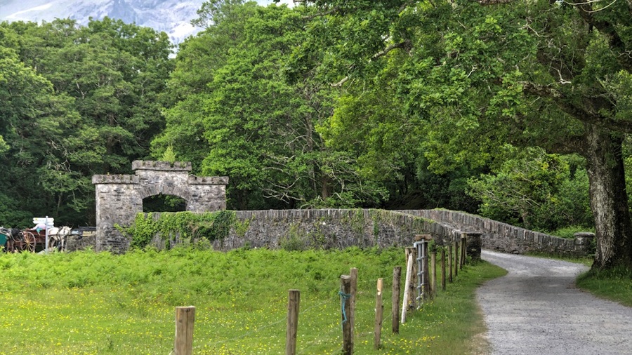
A few shots of the bridge we crossed to get to the Jaunting Cars boarding area and then it was off and up.
DSC 6178 HDR

DSC 6186

DSC 6193 HDR

We offered to pay the driver before we left his 20 Euros each but he said “Just pay me at the end.”…we decided he was just fishing for a tip even though tipping is not customary in this country. As an aside…Ireland is proof positive that you can both pay your bartenders and wait staff a decent living wage and still have a thriving restaurant and bar business…tipping in bars here isn’t done and likewise at most restaurants. Despite this…and contradicting what folks say back in the US about having to tip to get minimum wage to the wait staff…it looks like their entertainment industry is thriving quite nicely.

Again with the narrow roads…what is it with these people.

DSC 6199

DSC 6215

DSC 6216

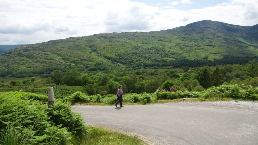
A fellow passenger from our bus that chose to hike instead of paying the 20 Euros for the ride…what was she thinking? It actually wasn’t that bad of a hike, only 7 miles and the road was paved so one could make pretty good time…but from the bottom you only had 2 ½ hours before the bus was picking you up…and while 7 miles is doable in that time you can’t dally much for photos. Still though, given the speedy ride we had maybe she made the correct decision as she did make the bus.
DSC 6219

Near the summit Tom the horse forcibly stopped for a drink and Neil took the opportunity to jump out and get a picture from the summit of the pass.
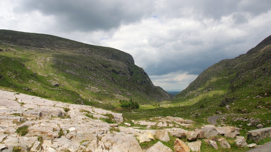
DSC 6243

The road down. From here…Mr. Personality the Jaunting Car driver decided to go even faster…and did I mention that these things have no brakes at all other than the horse? (Heck, they ain’t got any suspension either which is the cause for the paint shaker ride.) If anything we got faster as gravity was assisting Tom the horse on the way down. Still no stopping for pictures though.
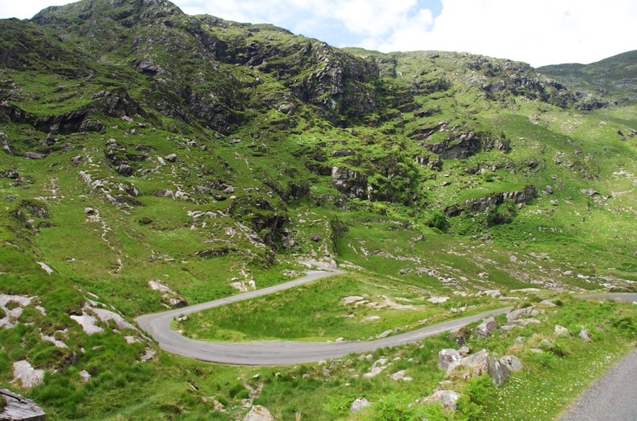
DSC 6246

Looking down towards the gap itself…after going through it it’s clear that the Gap refers to the piece between the summit of the pass and the southern end as the ride up was decent but not spectacular scenery.
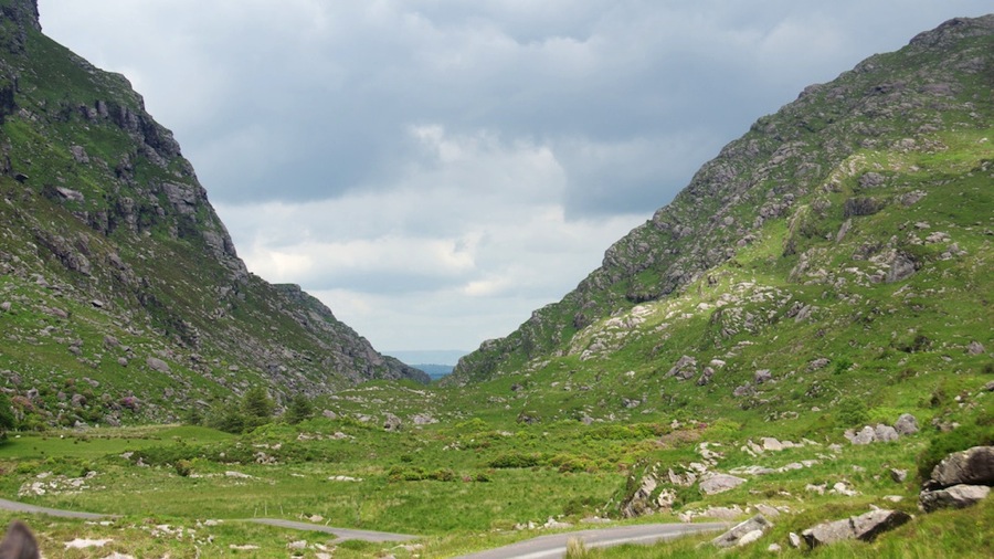
DSC 6248

A waterfall in the roadside creek…sorry it’s not up to Neil’s usual standards for waterfall pictures…but at 20 miles an hour inside a paint shaker how good can he be expected to be?

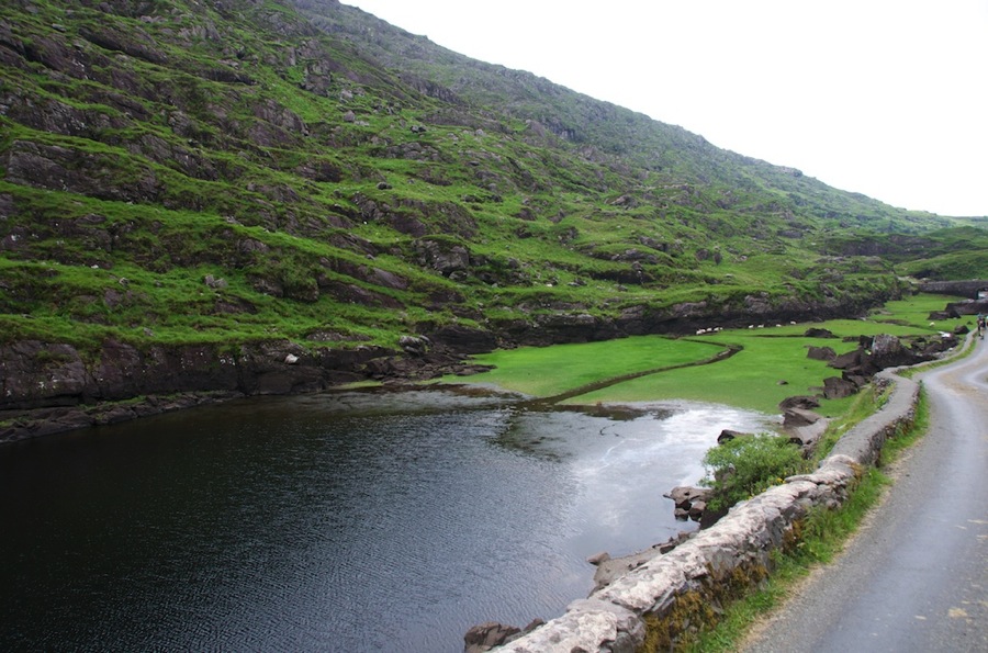
DSC 6254

DSC 6262

Looking back North about half way down from the summit…you can see we’re in the narrow portion of the Gap at this point.

DSC 6266

This lake is only a quarter mile or so in front of us and at least 200 feet below. Pretty steep…especially at speed…and did I mention that these things have NO BRAKES!!!

DSC 6268

DSC 6276

DSC 6281

An abandoned building almost all the way down.

DSC 6285

And finally a couple of shots looking back North through the Gap.
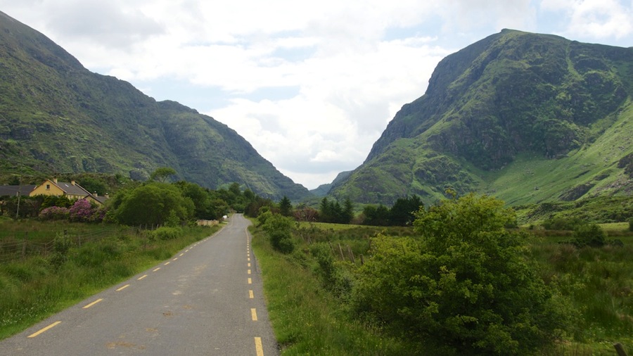
DSC 6300

Lily pads…with actual water lily flowers on them!
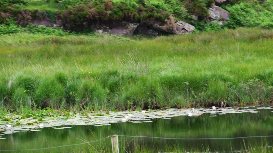
DSC 6303

With that we got down and Mr. Personality wanted to get paid. Neil gave him a 50 for our 40 Euro fare and he pulled the old “I don’t have any change.” dodge. Neil offered to go into the shop and get change and he grudgingly got some change from one of his buddies and gave it to us. Mumbled in Gaelic at us as we walked away but given his poor service and headlong charge down the slope (maybe he was reliving his old cavalry charge days?) along with not bothering to offer to stop for photos even though he was sitting 1 foot from Neil and watched him struggle to frame the shots resulted in a brief appearance by “The Tip Nazi” to steal a concept from Seinfeld. “No Tip for You!”

With that we disembarked from the Jaunting Car and had a beer while waiting for Tom the boatman. Instead of returning at 1600 he showed up at 1625 or so…but maybe the concept of on-time really doesn’t apply here. In any event, we had nowhere else to be so it was no big deal and we arrived back at the B&B about 1700. After posting part I of this blog post we headed off to town and ate at Tom MacSweeney’s Pub. Sea bass again for Connie and Tagliatelle with Bacon, Mushrooms, Chicken, and Cream Sauce for Neil. Great food but we were full when they were done so we skipped the ice cream store (too bad, it was really good ice cream and we were looking forward to more…but neither of them had any room left at all.

Tomorrow we’re off to a brief stop at the Cliffs of Moher for a walkabout and a boat ride…then it’s on to Bunratty for a Medieval Dinner. Wednesday we’re off to the Connamara Peninsula (home of the O’Conners which we only recently found out are distant ancestors of Neil’s side of the Laubenthal family) for 2 days. We’re staying in a castle there…Neil hopes it’s nice as it was on Connie’s must-do list for the trip.

Cyas.

Posted in RV, Travel | 1 Comment

Skellig Michael Boat Trip and Gap of Dunloe Antique Bus/Boat/Buggy Trip Part 1

Well, it’s a twofer today…Neil was just too tuckered out last night after the Skellig Michael boat trip to work on the photos so I didn’t get to do the blog post either. Today was a lot easier day and we got back to the B&B right about 1700 so I think I might have time to finish this before we head out for dinner.

Anyway…Skellig Michael first.

We got out of the B&B right about 0730 after having some bread with butter and jam along with a cup of coffee. We kept the fruit that we got instead of the sit down breakfast for lunch/snack and headed off. After a quick stop at the Spar (local equivalent of 7-11) and a 90 minute drive over to Portmagee we got to the Skellig Experience Visitor Center about a half hour early so we had an apple for snack and then when the center opened we went ahead and watched the movie and toured the exhibits before the boat ride.

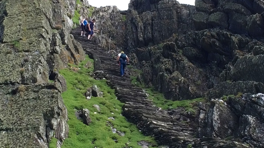
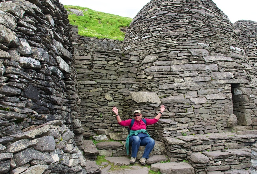
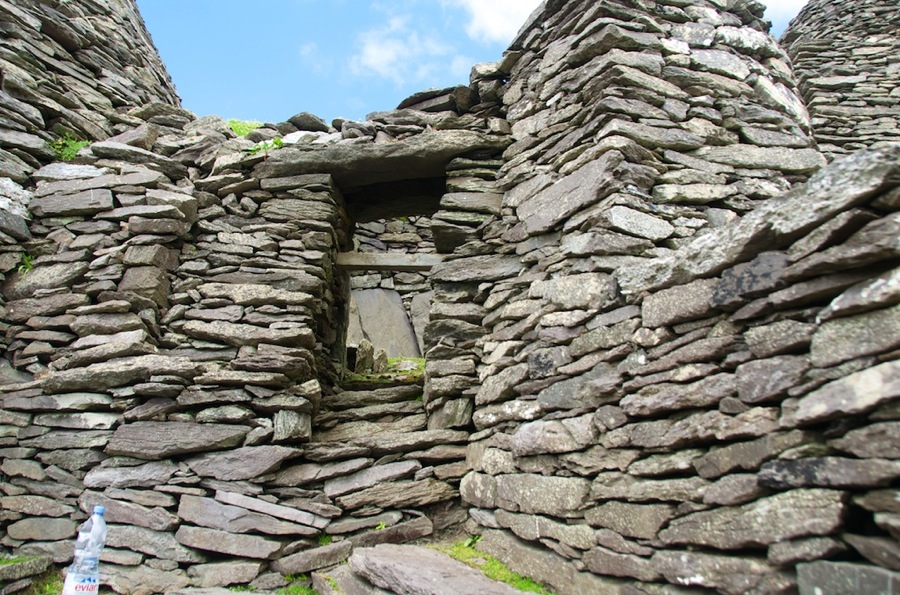
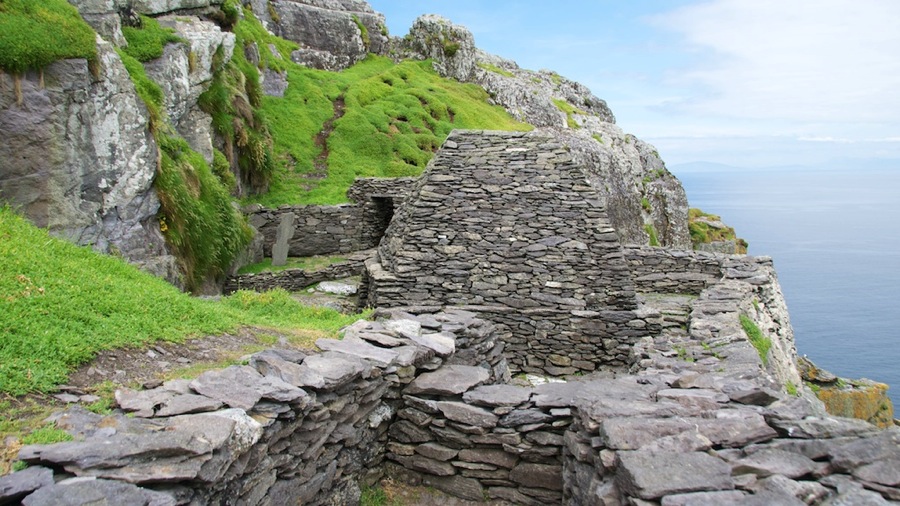
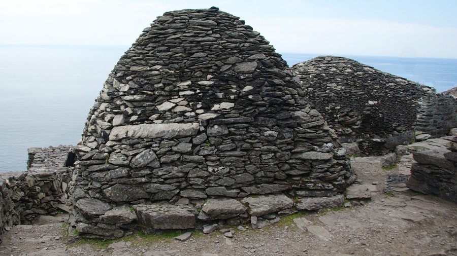
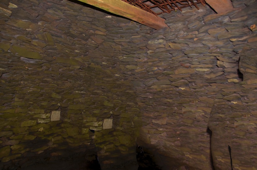
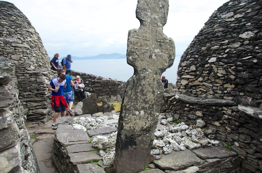
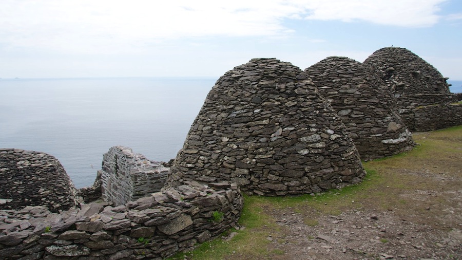
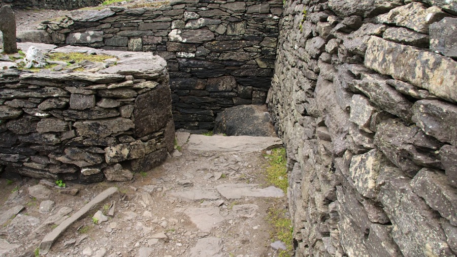
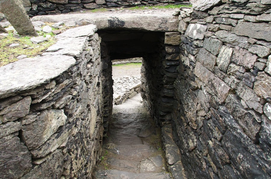
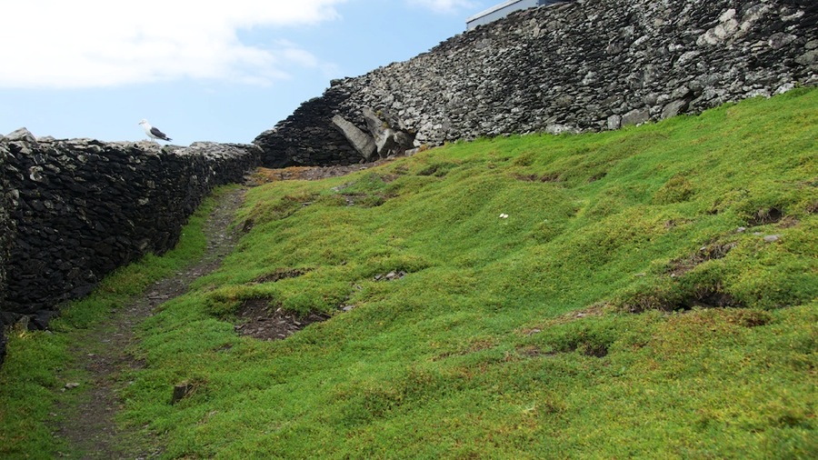
Skellig Michael Monastery was founded about 800 or so by Saint Fionán…although according to the exhibit there were actually two of those…Saint Fionán the Squint Eyed and Saint Fionán the Leper. The monastery was in operation until the 12th or 13th century at which point it was abandoned and the monks moved to an abbey in nearby Ballinskellig on the mainland. It contains 6 beehive huts, two oratories, and a chapel that was built several hundred years after the remainder of the monastery. All are of stacked rubble construction as I talked about the other day. In the 1820s a pair of lighthouses were constructed on the island and they remained in operation and manned until 1987…when they were replaced by automatic lights that are still in service. The monastery is situated on a terrace 600 feet up the 715 foot tall island. Access to the monastery is via climbing 600 stone steps that date from the days when it was built…all were hand constructed by the monks and they are still the only way to the top. There are a lot of serious drop offs on one side of the steps…which are maybe 3 1/2 feet wide although for a good deal of the path there are lesser drops. No handrails either…a couple places had some chain bolted to the rock face but other than that you held onto the cliffside or nothing.

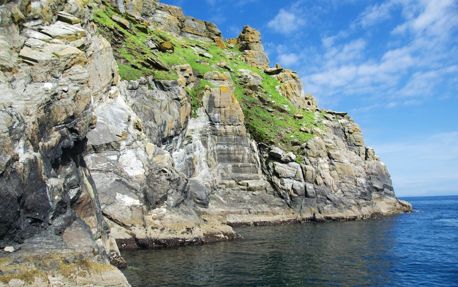
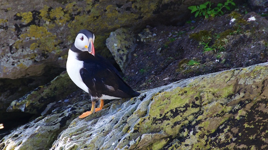
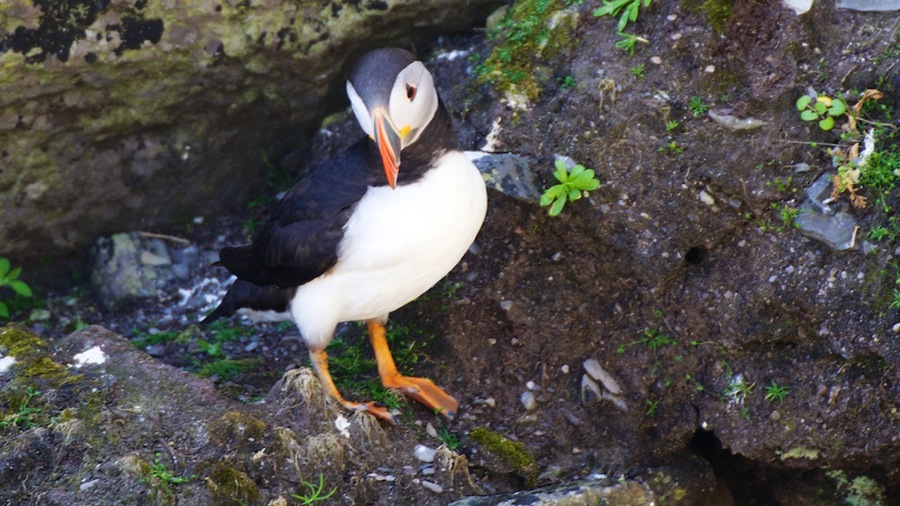
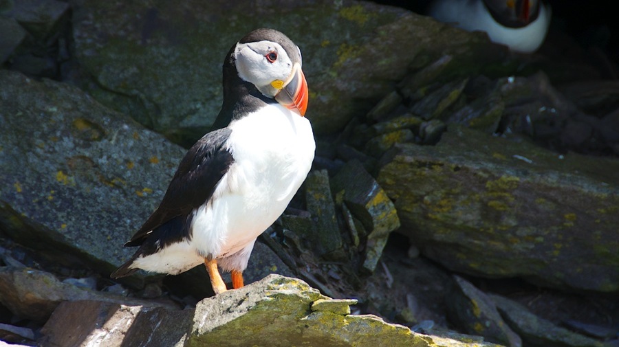
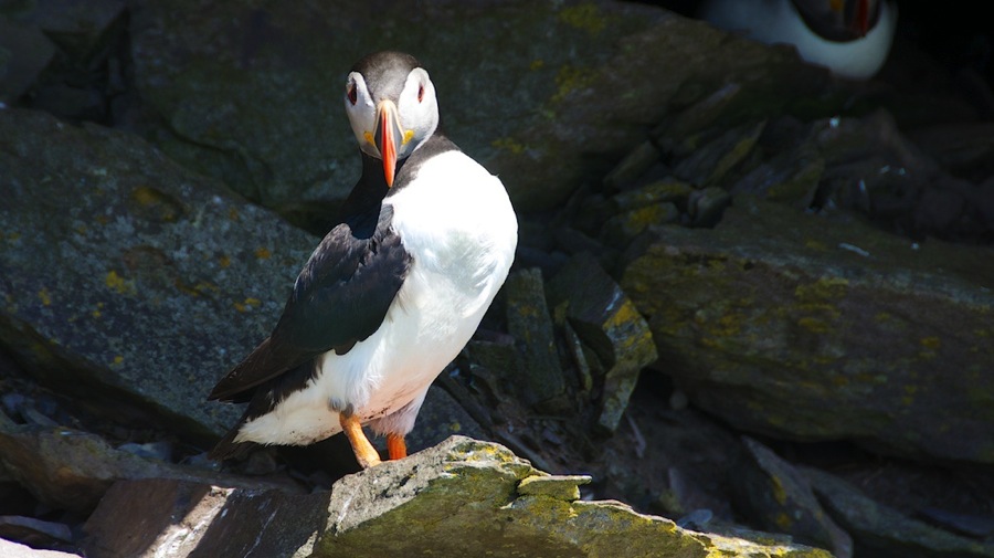
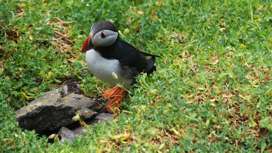
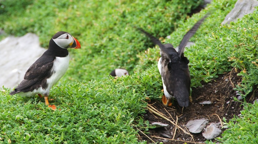
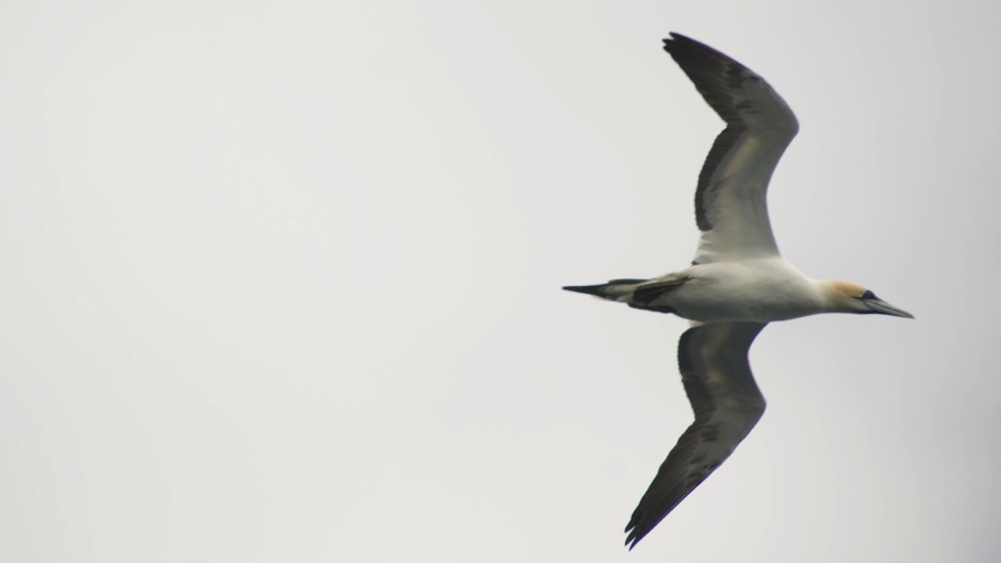
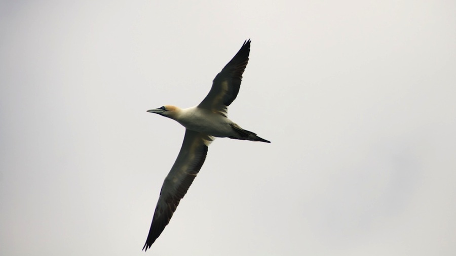
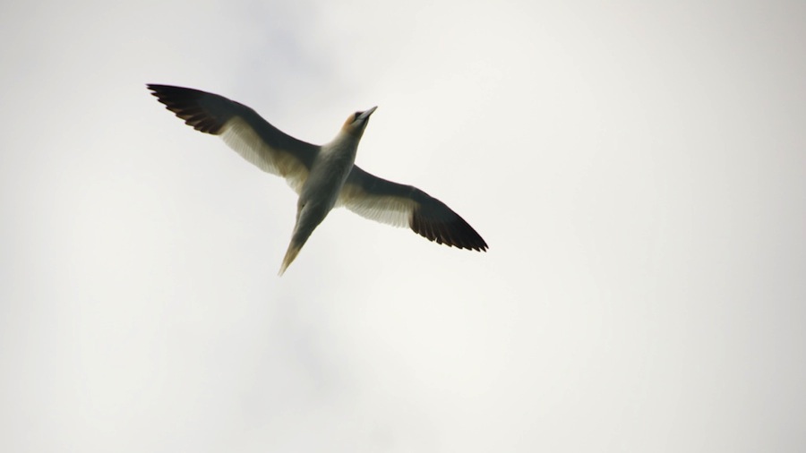
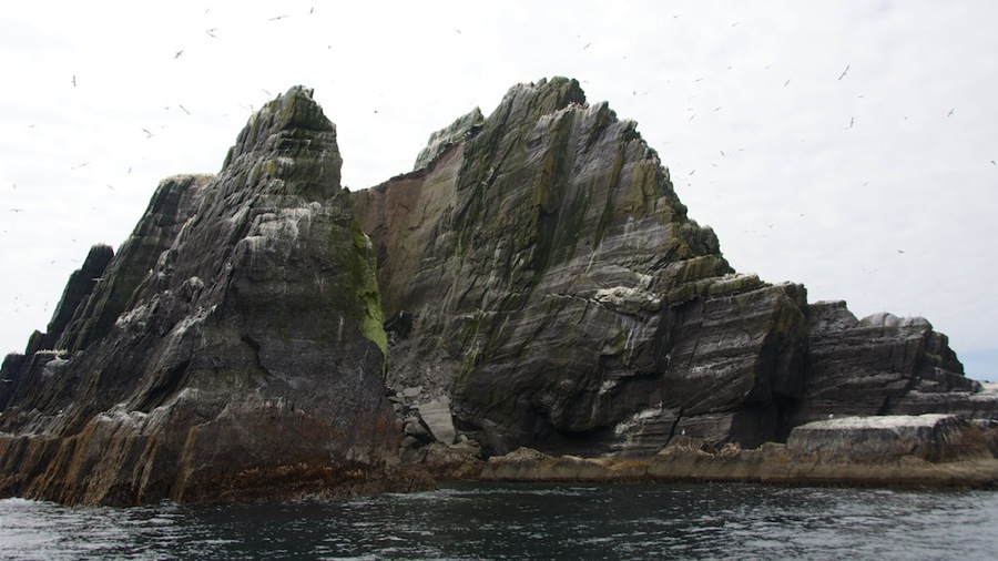
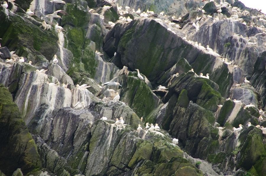
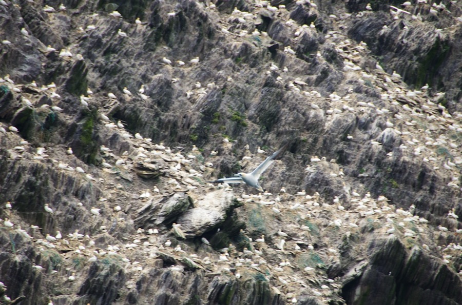
The island is populated by a huge number of Atlantic Puffins…and it happens to be nesting season so we got a bunch of great pictures of them. Neighboring Little Skellig which has never been inhabited and doesn’t even really have a place you can get to for landing from a boat, although we did see a couple of places you could maybe get ashore on a calm day…is populated only by Gannets.

Ok, on with the photos…I’ll let them speak for themselves mostly with only commentary that is needed.

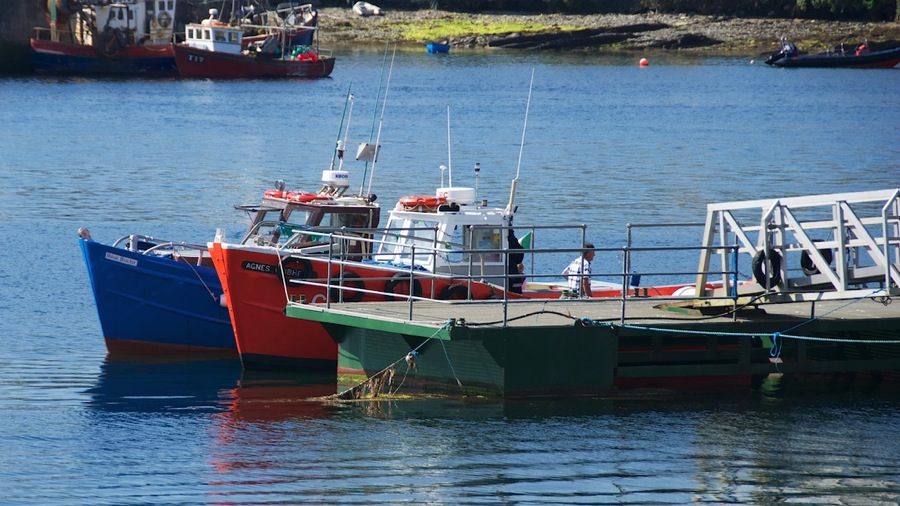
Our ride…we were on the inboard orange boat…the 35 foot or so Agnes Olibhear owned and captained to Eoin (pronounced Owen with a deep Irish brogue) Walsh. Eoin proudly displayed his licensing information which clearly stated that he was licensed to carry 12 passengers…Neil counted 14 but mebbe he just didn’t do the math right.

DSC 5750

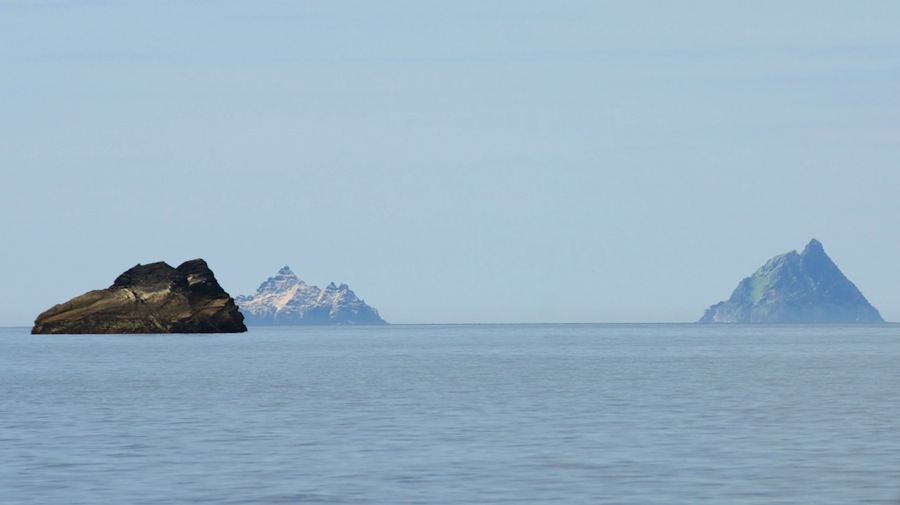
Heading out into the North Atlantic…which was amazingly calm yesterday with light winds, warm temperatures, and only a 2-3 foot swell for some gentle rolling action. Also our first view of the Skelligs…Little Skellig is on the left just poking out from behind the smaller island closer to the coast (note it looks snow covered but that’s actually bird crap from the 40,000 pairs of nesting Gannets on the island. Skellig Michael is to the right  and is about 8 miles offshore a mile past Little Skellig.

DSC 5754

DSC 5758

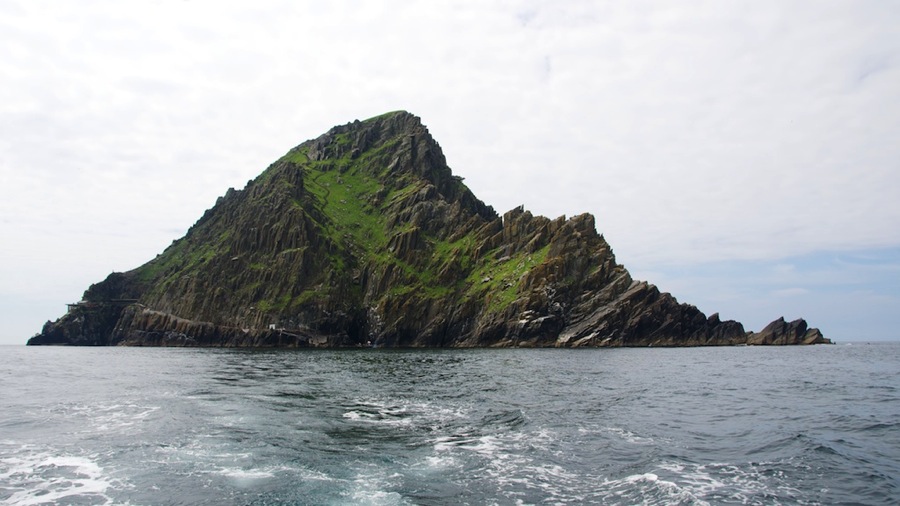
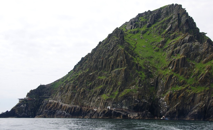
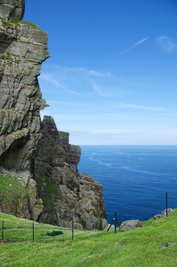
Our approach to and landing on the island…the pier is the gray patch just right of center in the second photo. The squiggly line up the green section was the original set of steps…but they were deemed too dangerous by the monks so they constructed a second set that is out of sight around the left hand side of the island. We walked up the sloping path you can see leading away from the dock, around the helo pad you can see jutting out the far left side of the island, then zigzagged up the steps from there to the top.

DSC 5871

DSC 5870

After a quick safety and respect the island briefing by the warden we started up…the first shot is looking east toward Little Skellig a mile away.

DSC 5787

DSC 5786

Puffins…we passed within 20 yards of probably 50,000 of these.

DSC 5789

DSC 5792

DSC 5805

DSC 5808

DSC 5829

A view from our first major stopping point (I’m skipping the half dozen times we stopped so that Connie could catch her breath…Neil needed to do that as well but only needed about half the ones Connie needed; but he wasn’t complaining). This was originally where Connie said “no mas…I’m not going any higher” so Neil went on up on his own. This shot is looking south toward the other peak from where the monastery is…the little flat outcropping on the far end is where the monks went when they needed solitude…we figured that just being on the island was solitude but clearly the monks had a different idea. The shot right after this one is one Connie took from her resting place of Neil making the final push to the top for some monastery photos…and strangely enough is the only shot we got showing the steps themselves. Neil forgot to take any.

DSC 5825

IMG 1257

Connie said she was done…so Neil went on up; the shot above was taken just about 180 degrees around from the one showing Point Solitude. He got all the photos below of the monastery itself and was coming back down to see Connie…when it turned out that she decided to HTFU, suck it up, overcome your fears, told her legs to shut up, whatever you want to call it but she did make it to the top eventually. The first two shots are of Little Skellig through one of the windows in the monastery wall and the second is proof that she actually did make it up.

DSC 5849

DSC 5856

Shots of the monastery garden, beehive huts, and other structures in the compound.

DSC 5835

DSC 5839

DSC 5840

DSC 5841

DSC 5834

DSC 5836

DSC 5845

DSC 5851

DSC 5853

DSC 5854

With that our visit to the peak was complete (and we needed to head down anyway) so we took a 40 minute hike back down the stairs…Connie had a harder time going down with her vertigo and lack of depth perception than going up so she had one hand on the rock wall and the other on Neil all the way down…and he let her know when there were taller or shorter or narrower steps. We got back down safely with only about half as many stops as on the way up and saw our ride the Agnes O pulling pier side for loading.

DSC 5864

DSC 5866

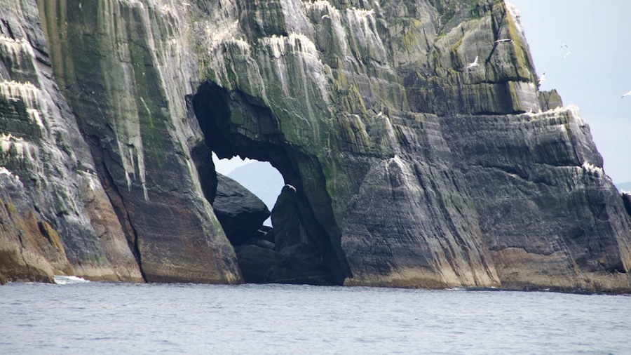
Our next stop (well, not actually a stop as we just drove around it) was Little Skellig…but it was on the way anyway. This is home to tens of thousands of breeding pairs of Gannets. You can see on the pictures how many there are per square yard and the closeups show only a very small area…it was literally covered with them and the ones flying around the island looked like snow in front of the rock.

DSC 5888

DSC 5899

DSC 5891

DSC 5897

DSC 5896

DSC 5909

DSC 5993

DSC 6015

DSC 6032

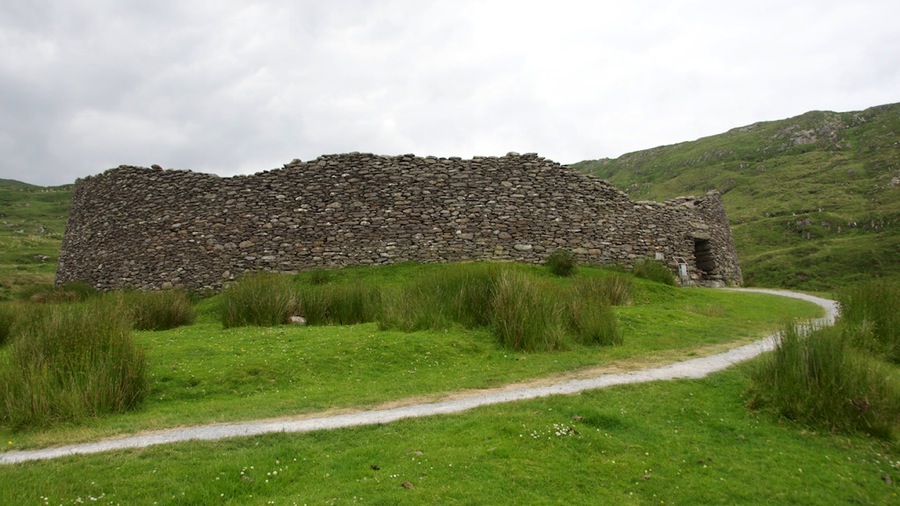
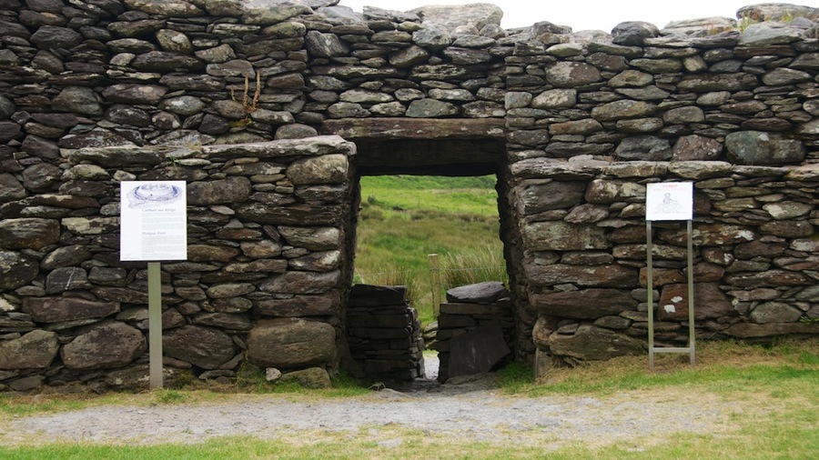
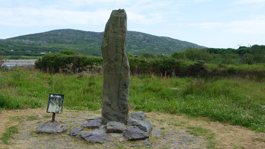
We made our way back to the dock and finally found a bathroom after 6 hours…no facilities on either the boat or the island…and then headed home with a couple of stops for scenery including the best preserved Staigue (landowner) fort in the country, the Ogham Stone which we have no idea what the significance of is, and some overlooks. We were pretty tired so didn’t stop long at any of them.

DSC 6063

DSC 6061

DSC 6067

DSC 6069

DSC 6074

We arrived back at the B&B about 2100 after stopping for dinner along the way…don’t remember the name of the place but it was one of those targets of opportunity. A pint each…along with roast beef for Connie and stuffed lamb for Neil and our hunger was done.

That’ it for part I, I’ll go ahead and post this and put up another post with today’s journey to the Gap of Dunloe. Easier reading that way.

Cyas.
Posted in RV, Travel | 2 Comments

Dingle Peninsula Driving Tour

Well, today’s adventure was a driving tour over to the Dingle Peninsula and back and it was a mighty fine day topped off by a nice pub we found at the Best Western in Kiillarney of all places…so without further ado here’s a few images from the day.

Of course…it goes without saying that we had lunch…we stopped at the town of Ballyferriter and ate at the Bar an Bhuailtin…a couple of pints and a a plate of Lemon Sole for Connie and a Steak Sammy for Neil and we were good…so good in fact that we again just had an appetizer for dinner…but more about that later. We basically went on a counterclockwise loop around the Dingle Peninsula

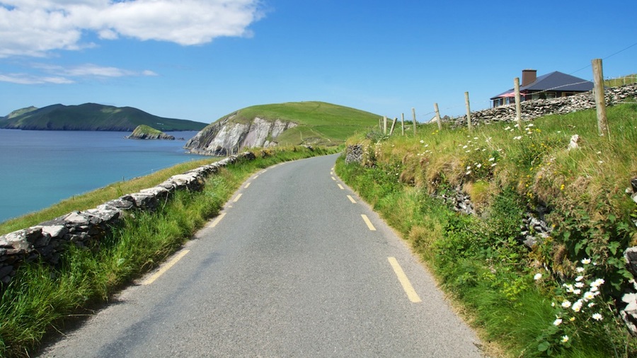
The view from atop the ridge overlooking the north coast of the peninsula.

DSC 5661

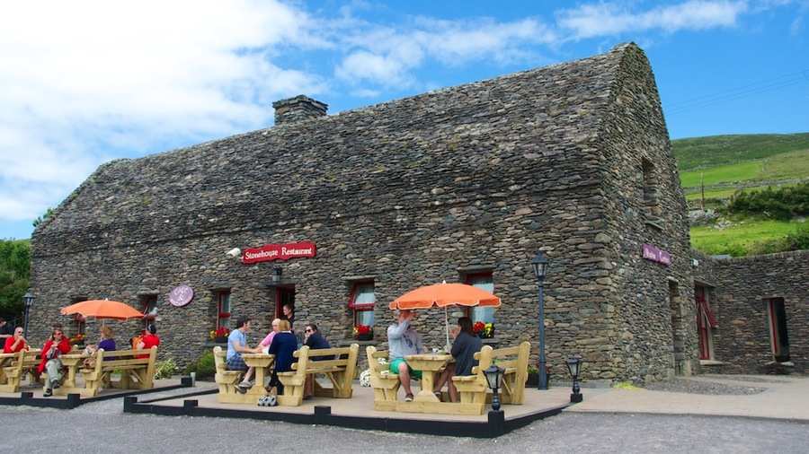
Nothing really special about this establishment…it’s some roadside cafe…but it’s the first and only building we’ve ever seen that is not only stone but has a stone roof. We didn’t go inside so no telling what is holding it up; but you can see from the pitch at the let end of the photo that’s it’s not all that peaked but I don’t think any wooden rafters would stand the weight so it must be some sort of interlocking construction that holds itself up.

DSC 5671

The Cliffs of Dingle…named by Neil. They’re similar in geology to the much taller Cliffs of Moher that we’re going to see on Tuesday but Neil liked them…and given that it was a sunny day and another sunny day on Tuesday is not assured at this point he decided some sunny cliffside shots would be nice. These are only 80 or 100 feet tall instead of the 700 that Moher boasts.

DSC 5676

DSC 5688

This sheep was grazing alongside the road and took exception to Neil stopping to get a picture.

DSC 5685

One of a bunch of abandoned dwellings known as Famine Huts…we didn’t see anyplace that had any details but are assuming they were abandoned by the owners during the great potato famines of the 1800s here in Ireland when the Irishmen emigrated to America.

DSC 5705

A shot looking up the mountain side from where the Famine Hut was shot…essentially Neil turned about 90 degrees to his right from the above shot. In both this one and the Famine Hut shot you can see a whole bunch of fences that separate pastures from fields from homes…all of these are stone fences, mostly hundreds of years old and they’re both still in use and still in excellent repair. Stone fence repairmen are not uncommon here since there are many of them to keep in shape and it’s an art more than a science.

DSC 5708

Speaking of roads…this is the main road on the route around the peninsula…the speed limit is 80 or 100 kilometers (50 or 50 miles) an hour, the road is about 12 feet wide with no lane lines, it’s two way, and they let full sized tour buses go around it. Scary when you pass one…I gotta tell ya.

DSC 5709

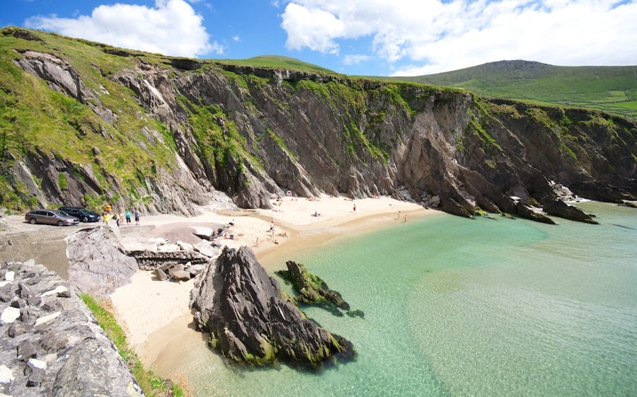
A little beach we spotted just north of the road shot above and around the next bend…you can drive all the way down the 150 or so high cliffside at that point to the beach and there were maybe 4 or 5 parking spaces at the bottom with lots of Irish lasses sunning themselves.

DSC 5712

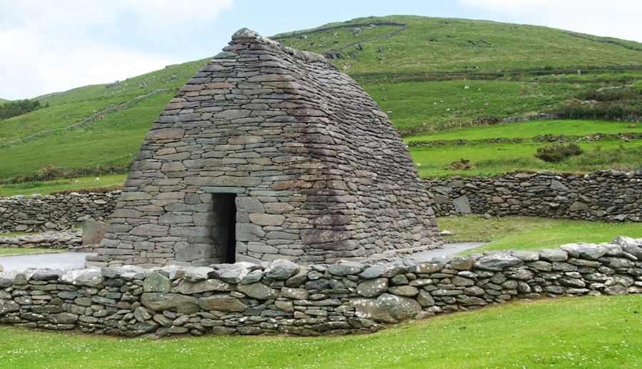
The Gallarus Oratory…this is a complete stone building from about the year 500 or 600. The builders were purged during one of the Viking or Normal invasions and no written record of them survives. The oratory is about 25 by 16 feet and 18 high with walls about 4 feet thick. Entirely constructed of stone but the walls sort of lean in until they touch…no wood structure at all and no mortar holding them together…they’re just carefully piled up stone…technically it’s known as piled rubble construction. Neil took a shot of Connie on the inside as well.

DSC 5723

DSC 5725

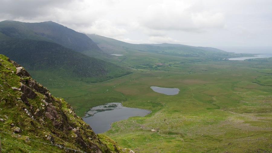
After that we were getting sort of tired and it was after 1500 so we headed home. We took a short side trip off our route to journey the 6 or 7 kilometers up to the top of Connor Pass which is the route from Dingle north to the coast of the peninsula…it went from bright blue sunny weather at the bottom to cloudy and overcast just a few klicks away and 1500 or so feet up.

DSC 5733

One more shot of the Cliffs of Dingle.

DSC 5690

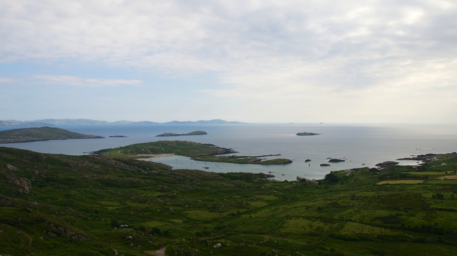
And finally a shot of our destination for tomorrow. This was looking almost due south from the far western end of the Dingle Peninsula towards the Kerry Peninsula to the left and the Skellig Rocks off of the west  end of Kerry to the right of the picture. Skellig Michael is our destination on our boat trip tomorrow to see the monastery from the 800s…it’s the taller and larger island on the far right. The smaller one was never inhabited. They’re about 6 miles offshore and we’ll leave on our boat trip from Portmagee which is just out of the frame to the left on the north coast of Kerry. We’re looking forward to the trip…our hose Eileen verified with the boat company (Eoin Walsh…nice Irish name) that it is running tomorrow (bad weather can cancel it ya know) and has fixed up a take away breakfast for us to haul on the 90 minute drive over to the pier since we have to leave before breakfast at the B&B.

DSC 5694

That was it for our day and we got back to the room…had a short nap then headed off to Mass and after that had a little dinner. A couple pints of Murphy’s…Neil sampled a really tasty Irish whiskey named Glenmore and we had Mussels (Connie) and Fried Mushrooms and Garlic Bread (Neil).

Cyas.

Posted in RV, Travel | Leave a comment

Transit to Killarney and Killarney National Park

OK, got up this morning and after our breakfast…pro tip…when in Ireland never order the meat and cheese plate for breakfast unless you like those cheeses with all the green and blue mold on them and those gooey, smelly French cheeses. Suffice it to say that we had the meat part but skipped the cheese part. Luckily there was toast and muffins and we survived.

With that we were off. After a last stop out front to grab an early morning picture of our view and the horse in the pasture we set off.

DSC 5470

DSC 5479

We headed of for Killarney…after some discussion last evening we decided to skip Mizen Head lighthouse as it was pretty far west and also skip the Bantry House and Garden complex and instead decided to stop by the Drombeg Stone Circle which dates from the late Bronze Age or about 1100 BC. There’s a kitchen facility, the bases of a couple of huts, and a stone circle that was used to honor their dead. The remains of a young boy were recovered during an earlier archeological dig here. You can see from the stones that there is a recumbent stone and two tall portal stones opposite it with the other stones reducing in height as they go around from the portals to the recumbent. In addition; a line drawn from between the portals through the center of the recumbent faces southwest…in the precise direction that the sun sets on the winter solstice on December 21. In addition to the photos below…Neil took a couple of 360 degree panorama shots and uploaded them for you to see…the links to those (they won’t post in the blog right) are http:360.io/NHGpUR, http//360.io/G6Svzc and http://360.io/EM2jwH. This was actually one of the coolest places and had the best views of just about any place we’ve been so far.

DSC 5485

DSC 5490

DSC 5498

DSC 5505

DSC 5507

Our next stop was in the little coast town of Glandore…a quite picturesque little place that maybe had a couple of hundred residents and a really nice little harbor. We just happened to drive through here…it was on the way but we had no idea about it…and we both really liked it. It looks a great deal like the little towns up on the coast of Main in New England back in the US.

DSC 5520

DSC 5521

DSC 5527

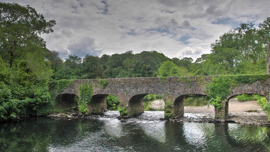
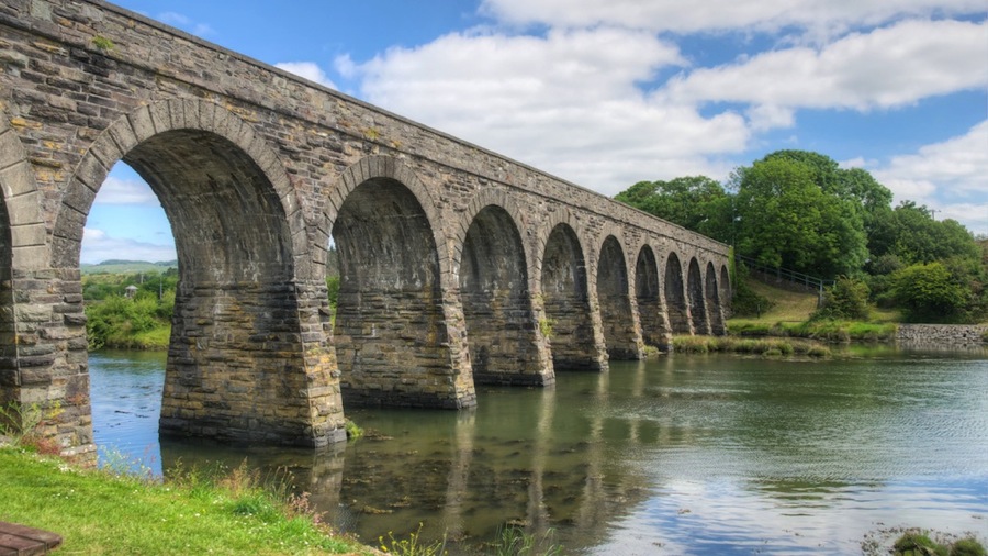
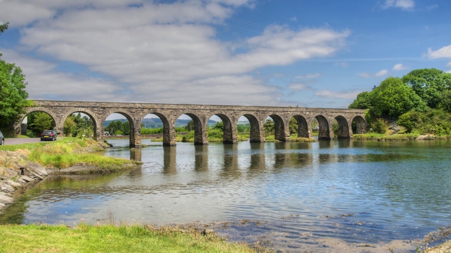
Next up was the town of Balleydehob…where we tried to eat lunch but nothing was open yet…so we moved on after getting a couple nice shots of their 12 Arch Bridge over the river.

DSC 5537 HDR

DSC 5528 HDR

Next up was the town of Bantry…and although we skipped the House and Gardens we ddi have lunch…a couple of sandwiches and a couple pints of Bulmers Cider at a pub right on the main square. We grabbed a few pictures of the waterfront as well…and found a statue of TV Timeout Jesus to go along with First Down Jesus from yesterday.

DSC 5543

DSC 5544

DSC 5546

DSC 5549

We then headed north into the national park through the little tunnel you see here looking back at it once we went through…it’s only 11 feet tall or so.

DSC 5564

Speaking of roads…you probably don’t believe me about how narrow they are so Neil snapped a picture of one today. This is the main highway leading into the most popular vacation spot in the country…and believe it or not the speed limit on this road is 100 kilometers or 62 miles an hour. We never got that high. As you can see…there is no center line painted on the road…this is because it isn’t wide enough for tow lanes. Whenever you pass another car (or God forbid a truck or tour bus) you have to squeeze all the way almost into the rocks or vegetation and then inch by them. Even cars don’t really have enough room to easily pass.

DSC 5569

Traveling through the park we stopped at a variety of overlooks for vistas, waterfalls, lakes, the local wildlife (animal and human), centuries old ruins, and other beautiful scenery…this is really a pretty impressive park. The mountains aren’t as high as the Canadian Rockies are…but there are a lot of more of abrupt up and downs so that you get pretty steep and deep valleys between them…very similar to what we saw up in Banff and Jasper National Parks in Canada except the valleys are not as wide.

DSC 5568

DSC 5586

DSC 5591

DSC 5597

DSC 5611 HDR

DSC 5634

DSC 5627

DSC 5639

DSC 5646 HDR

DSC 5654 HDR

While at the waterfall we met a couple of folks from Neil’s home state of Alabama…Mr. Billy J. Poss and his wife who hale from Muscle Shoals. Not quite down to Mobile but still fellow Alabamans so we were glad to chat with them for a few minutes.

Shortly after this last view of Torc Waterfall we got to our stopping place for the evening…the Carriglea Farmhoue B&B here right outside of Killarney. This is a really, really nice place…a view out the front to the lake, great rooms, great wife, friendly proprietors, and generally just a pretty upscale place. After checking in we ran into town and had dinner…our usual couple pints each, this time it was Kilkenny Red Cream Ale like we had the other day in Mike the Miller’s pub on the river in Kilkenny. To go along with it we shared a plate of Beer Carpaccio then had some Caramel Honeycomb Crunch ice cream on the walk back to the car. We got home well after 2100 and after blogging and a shower it was time for bed.

Tomorrow we’re off to tour the Dingle Peninsula…Eileen the proprietor of the Carriglea Farm is going to ring up our boat trip guy for the ride out to Skellig Michael on Sunday and make sure the weather is still holding.

Cyas.
Posted in RV, Travel | 3 Comments

More Whiskey, Red Abbey, Charles Fort and Kinsale

Today we had another pretty good day…albeit we ended up getting home a little earlier than usual; by 1623 we were having a siesta with a cup of tea. We went ahead and pre-ordered our breakfast selections for tomorrow as Bernadette is heading off to the Dublin Flower Festival and she wanted to get things as ready or her family to handle as she could and the B&B is full tonight.

Before we headed out after breakfast…we got a shot of the view from our B&B looking down across the field as well as the stallion in the pasture right below the parking area.

DSC 5407

DSC 5409

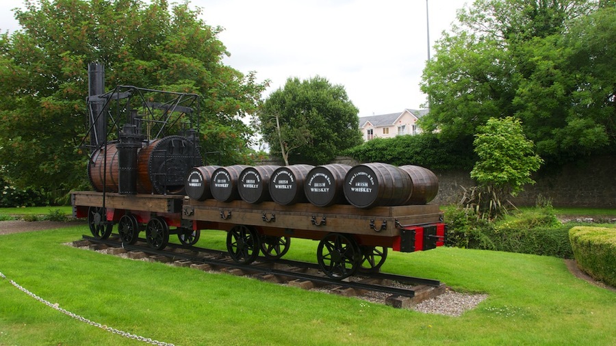
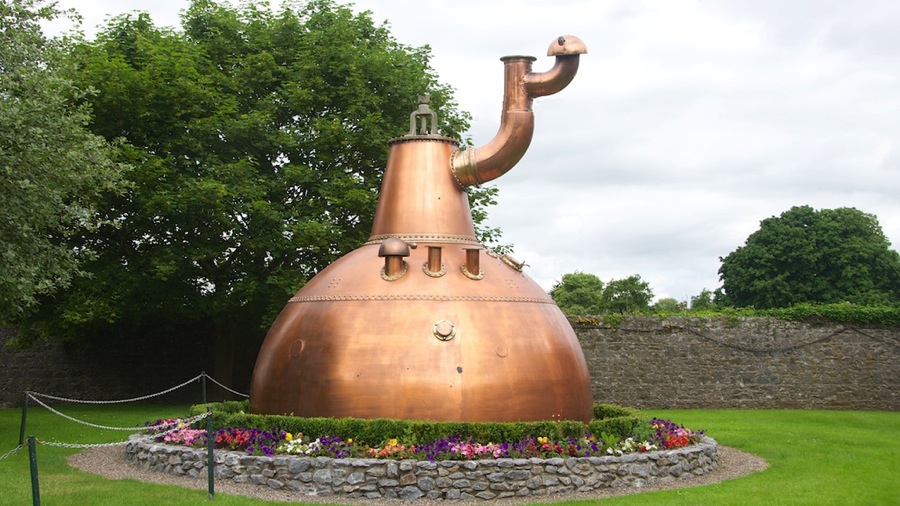
Our first stop was at what turned out to be the Jameson Experience in Midleton right outside of Cork. Originally this was supposed to be a tasting and tour at the Midleton Distillery so we could sample some other brands of Irish Whiskey. Unfortunately…turns out that Jameson has bought a good number of the smaller Irish whiskey distillers…that whole economy of scale thing ya know…and there aren’t that many independent ones left…although we did get a few recommendations from our lunchtime pub man to try later on. A couple shots from the facility…and old train and a retired pot still.

DSC 5411

DSC 5412

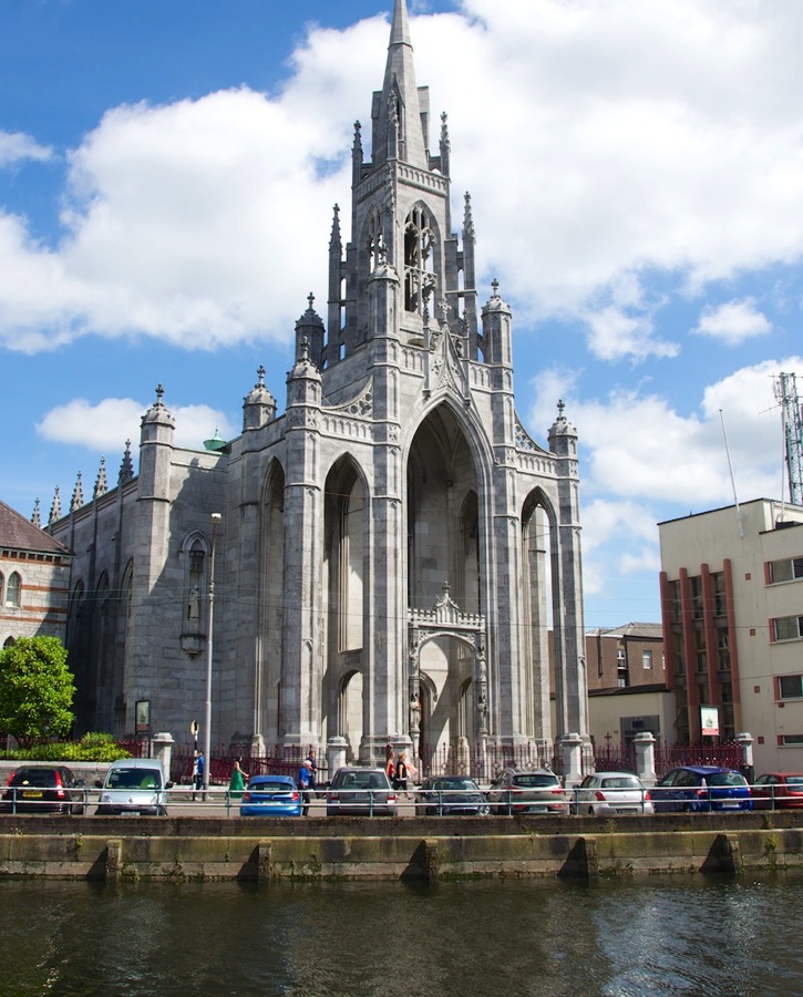
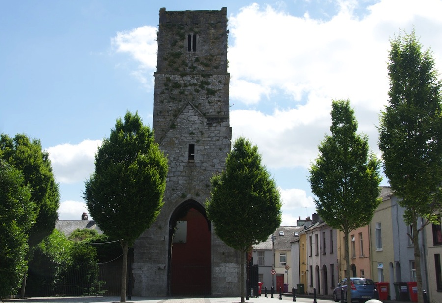
After that stop we got back in the tour and stopped briefly in downtown Cork to see the Holy Trinity Cathedral, the Church of Saint Finbarrs, and the Red Abbey…the abbey was pretty much a bust as only one tower of it is left.

DSC 5413

DSC 5417

DSC 5422

DSC 5428

After that we headed on down to the Kinsale area which is down on the coast south of here about 20 miles. The Kinsale River was an important port and stronghold back in the day…and was the location of several serious battles back in the 1500s and 1600s. Our destination was the Charles Fort on the east side of the river and then we planned to hit the James Fort on the west side before heading back.

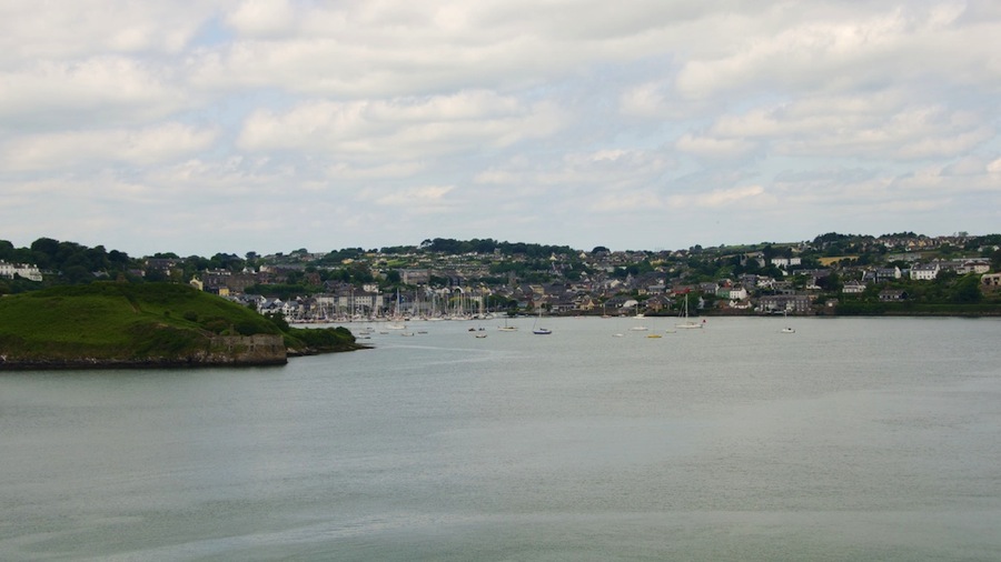
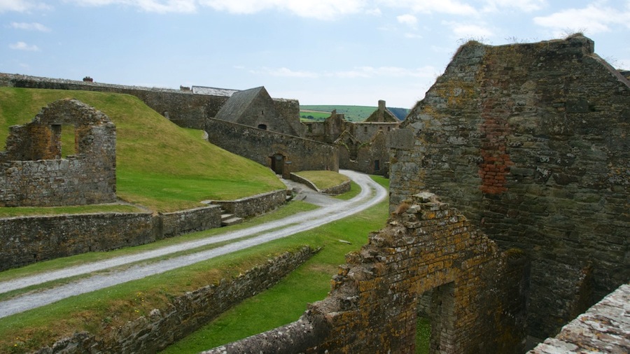
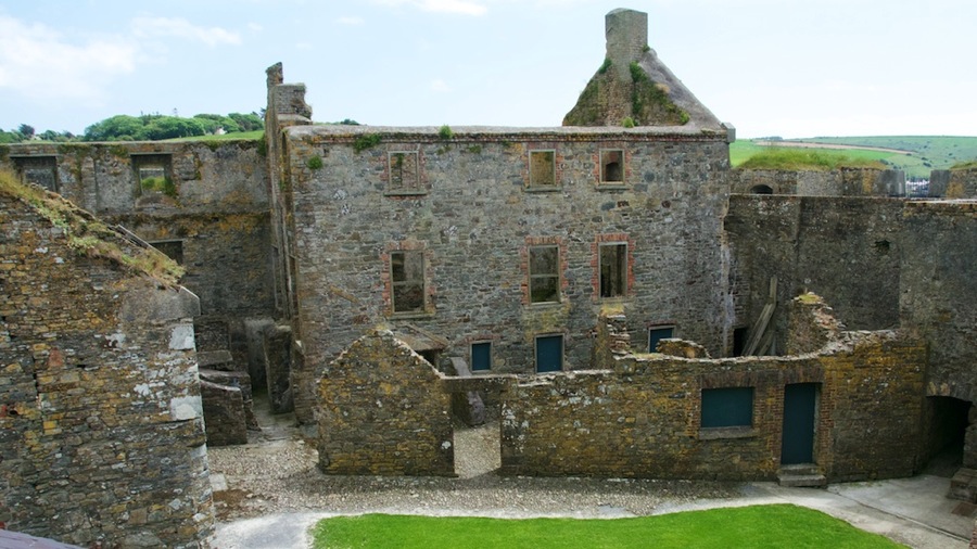
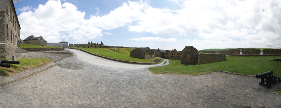
The Charles Fort is a star shaped fort with 5 bastions of which 3 overlook the river for protecting it against invasion and the remaining looking landward for defense of the fort. It’s a pretty strange fort in that it isn’t built on flat ground at all but on the side of a stone mound next to the river…with the walls and interior structures of the fort following the lines of the hillside. It was built in 1678 by the British after the pacification of Ireland which happened in 1601. Along with it’s companion James Fort across the river…it was built in 1602 and is pretty much fallen into ruins so there isn’t as much to see…they protected the river and town of Kinsale from invaders. The first shot is looking northwest across the river towards the town of Kinsale…the fort ruins are at the far left side of the picture and the river curves around behind the hill where the yachts are moored and then back to the right behind that hill. The lighthouse in the second picture was added to the fort later in the 1800s…and is different from most lighthouses in that it faces upriver and is designed to help river traffic stay out of the shoal areas in the river rather than being designed to guide ships at sea in…there are other lighthouses further south on the coast for that (Kinsale is 5 miles or so upriver from the coast). The lighthouse showed a light that was red or white or green depending on the bearing to the lighthouse…white meant you were in the center of the river while red indicated you were too far to port (the left coming down) and green too far to starboard (right). So by looking at the color changes in the light you could keep your vessel in the deeper water in the navigable channel of the river. The pano shot gives you a great view of the interior courtyard portion of the fort so you can see how it follows the contours of the landscape. A pretty neat design considering the land where it had to be built.

DSC 5430

DSC 5442

DSC 5447

DSC 5448

DSC 5452

Charles Fort 20140619 small

After that we were hungry so we wandered back down into the outskirts of Kinsale and stopped at The Bulman Pub right on the waterfront. We found that they had Murphy’s Red Ale on tap and since we hadn’t tried it we ordered a couple of pints and again…as has been the majority occurrence here in the Emerald Isle…the beer was mighty darn good. Lunch was a Scallop Salad for Connie and some Lobster Risotto for Neil with all of the seafood coming right out of the bay within a couple miles of the pub…so it was mighty fresh and mighty good. In fact; our dinner last night was pretty good too and although the bread pudding at Mike the Miller’s was still the best individual dish both last night’s dinner and today’s lunch equaled it…so suffice to say we’re pretty happy with the food so far. Still another couple weeks to go though so we’ll have to continue our countrywide sampling and give you a final Thumbs Up or Thumbs Down on Irish food once we complete our survey.

After lunch we decided to drive over and at least take a look at the James Fort on the other side of the river…but apparently on the way out of the parking lot Connie pushed the “Only take us down alleyways” button on the GPS because we ended up on the narrowest roads we’ve ever driven on. Neil thought some of the ones earlier in the week were goat paths but the ones in Kinsale are even worse. They’re just alleyways between buildings with bricks, trash receptacles, and the like sticking out. At one point we had to drive for 30 yards between two sheer brick walls and there weren’t more than 4 inches of clearance on each side between the mirrors and the bricks. And…this was a two way road…luckily we didn’t meet anybody on the narrower portions but on several pieces of our route we encountered another car and discovered that the rule is that whoever has he easiest path to back up until he can get out of the way does so…basically with a wave and no hard feelings on either end…the roads are just so narrow that’s all you can do. I think the local drivers learn to recognize rental cars and tend to give us a break…but we did back up or pull over into a driveway, dumpster access or the like several times.

To top it off…once we finally got to the area of James Fort…it turns out that you can’t get there from here…you have to park and walk up the hill. We decided that for ruins when we had just seen a relatively well preserved companion fort it just wasn’t worth it so we headed back.

Arrived back at the B&B…had a cup of tea…and we’ll go find something to eat later.

For reader Ron who wondered if the white statue was of Coach Saban…nah…I told ya…it’s First Down Jesus…sort of like the Touchdown Jesus that was up on the freeway in Indiana before it burned down. I don’t think they’ve got either KFC or Waffle House over here…although we have seen a Mickey D’s and a Pizza Hut. I would be happy to hire you for perimeter security for the castle…but then I can’t afford one so I guess you’ll have to just wait until the Publisher’s Clearing House van pulls up with the big check on that one.

Let me toss in a funny pic here…I been finding them in the interwebs and have a folder of them…so thought I would add one to my posts just to bring a little humor into your day.

Double Click IE Icon

Cyas.
Posted in Travel | Leave a comment